National parks hit a record 331.9 million visits in 2024. Yellowstone had its busiest May ever in 2025, with 566,363 visitors, more people than live in Wyoming’s capital city, all crammed into one park in one month.
Half of all national park visits happen at just 23 parks. This creates massive crowding at the places everyone knows about, while hundreds of equally stunning destinations sit nearly empty. Traditional national parks now require reservations and timed entries.
Popular trails close due to overcrowding. Parking lots fill before sunrise, and you’ll often wait 4 hours just to enter the park. The peaceful mountain experience you’re seeking has been replaced by traffic jams, crowded viewpoints, and stressed-out families arguing over parking spaces.
18 Mountain Destinations Replacing Crowded US National Parks In 2025
Why Seek National Park Alternatives in 2025
You wake up at 5 AM to snag parking. You wait in line for hours just to see a waterfall. You pay $35 per vehicle, then discover you need another permit for the trail you want. Your “peaceful” nature escape feels more like a theme park.
National parks hit a record 331.9 million visits in 2024. Yellowstone had its busiest May ever in 2025 with 566,363 visitors. That’s more people than live in Wyoming’s entire capital city, all crammed into one park in one month.
Half of all national park visits happen at just 23 parks. Think about that. Millions of people are fighting for space in the same places.
Most national parks now charge $35 for a 7-day vehicle pass. Add gas, hotels near popular parks (which cost 40% more), and food at inflated park prices. A week-long trip easily costs $2,500 for a family of four.
Compare that to hidden mountain gems. Many state parks and wilderness areas charge $5-15 or nothing at all. You get the same views without the premium prices.
Rocky Mountain National Park fills to 90% parking capacity before most people finish breakfast. Their timed entry system sells out months ahead.
While crowds pack into 23 overloaded parks, 400+ other protected mountain areas sit nearly empty. Same granite peaks. Same alpine lakes. Same wildlife. But you actually get to enjoy them.
The 18 Mountain Destinations That Beat the Crowds
i. North Cascades National Park, Washington
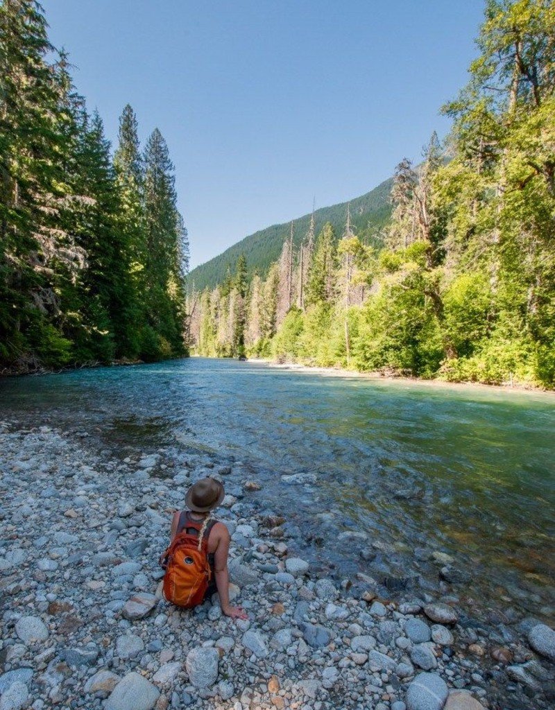
The North Cascades gets only 16,485 visitors per year. Compare that to Mount Rainier’s 1.6 million. Same state, same mountains, 99% fewer people.
The park sits 2.5 hours northeast of Seattle. Jagged peaks rise straight from valleys like something out of Switzerland. Over 300 glaciers cover the mountains – more than the other 47 lower states combined.
Try the Blue Lake Trail for turquoise alpine water. Or drive the Cascade Loop for epic views from your car. Entry costs $30 for seven days, but most people just drive through for free.
Best time: July through September when snow clears from high trails.
ii. Mount Jefferson Wilderness, Oregon
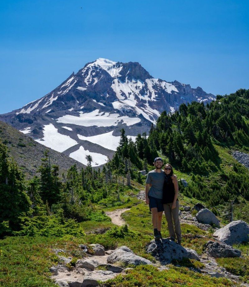
Oregon’s second-highest peak dominates this 107,000-acre wilderness. Mount Jefferson stands 10,497 feet tall with glaciers draped down its sides like frozen waterfalls.
Getting here requires some planning. You need permits from May through September (just $6 per person). The Central Cascades permit system releases them at 7 AM Pacific Time, exactly 14 days before your hike date.
The Pamelia Lake Trail gives you the classic Jefferson view with minimal effort – just 2.2 miles each way. For a real challenge, try the Jefferson Park area where wildflowers explode in late July.
The volcanic landscape here beats anything in the crowded Mount Hood area. Plus, you can actually find parking.
iii. Black Canyon of the Gunnison, Colorado
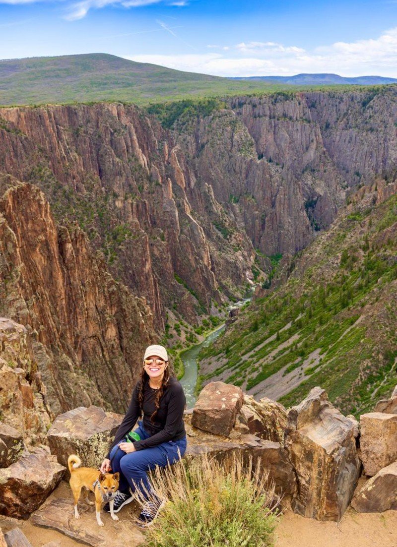
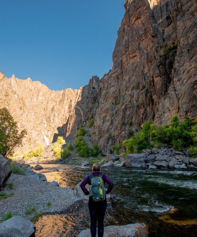
Some canyon walls here get only 40 minutes of sunlight per day. That’s how narrow and deep this place cuts into the earth.
Located in western Colorado, one hour from Grand Junction, this national park showcases the steepest cliffs in North America. The dark rock walls drop 2,700 feet straight down in places.
You have two options. South Rim stays open year-round with paved roads and easier trails. North Rim opens May through November but offers wilder views and fewer people.
The Cedar Point Trail takes 20 minutes and delivers huge payoff views. For serious hikers, get an inner canyon permit and scramble down technical routes to the Gunnison River below.
Entry costs $15 per vehicle for seven days. Camping runs $25 per night with no reservations needed most times.
The park sees under 500,000 visitors annually. Compare that to the nearby Rocky Mountains’ 4.3 million, and you see why this works.
iv. Maroon Bells-Snowmass Wilderness, Colorado
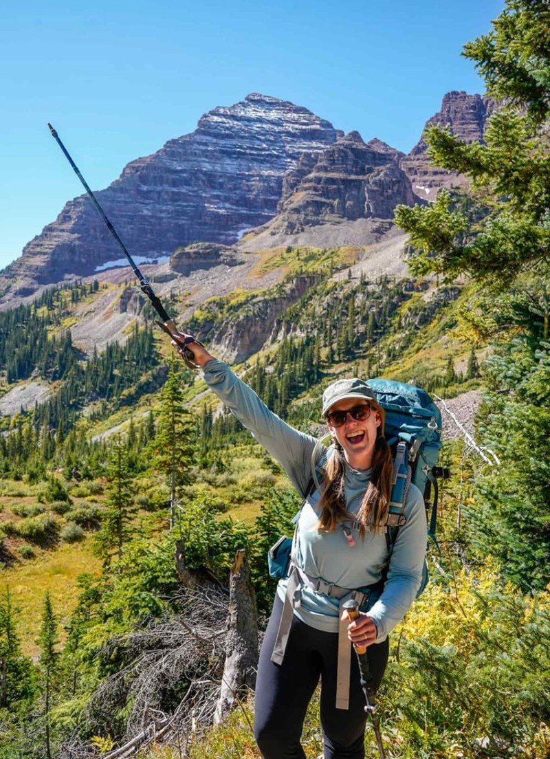
The busy Maroon Bells backpacking trip circles the peaks through four high mountain passes. Most people day hike sections of it.
West Maroon Pass makes a great day hike at 11,300 feet. Crater Lake sits hidden behind the peaks with incredible wildflower displays in July.
Access from either Aspen (expensive) or Crested Butte (cheaper). No permits needed for day hiking. Overnight backpacking requires free self-service permits.
The wilderness covers 181,000 acres of high alpine terrain. Expect snow on passes until July. Come September, aspen trees turn gold and crowds thin out.
This beats paying $30 to see Maroon Bells from the busy lake viewpoint.
v. Great Basin National Park, Nevada
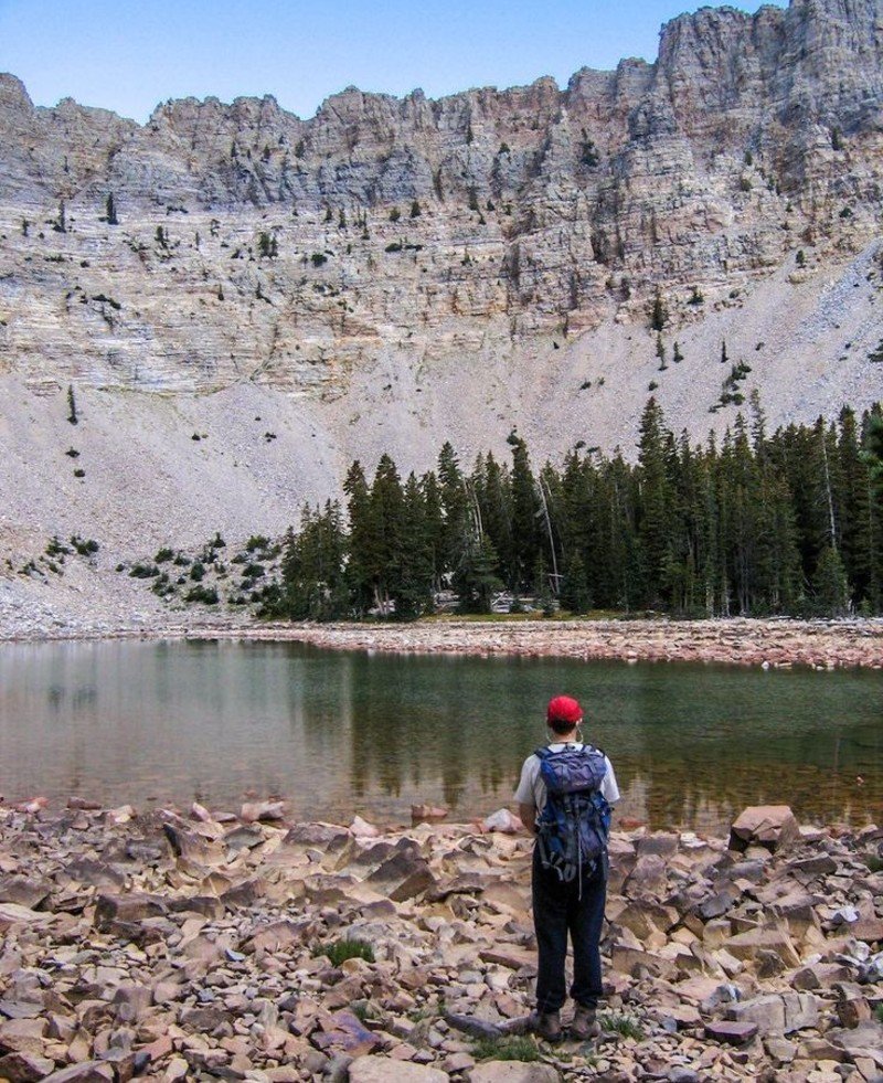
Ancient trees older than Christianity grow on these Nevada mountains. Some bristlecone pines here started growing 4,000 years ago and still live today.
The park sits in east-central Nevada, four hours from Salt Lake City. Wheeler Peak rises 13,063 feet – Nevada’s second-tallest mountain. Below ground, Lehman Caves offers cool relief from desert heat.
The Bristlecone Trail leads to these ancient trees with minimal effort. For bigger views, hike Wheeler Peak Trail to the summit and Nevada’s only glacier.
Stargazing here ranks among the best in America. The park earned Dark Sky status with almost zero light pollution. On clear nights, you can see the Milky Way with your naked eye.
Entry stays free year-round. Camping costs $15-20 per night. The high elevation means snow from October through May, but lower areas stay accessible.
vi. Guadalupe Mountains National Park, Texas
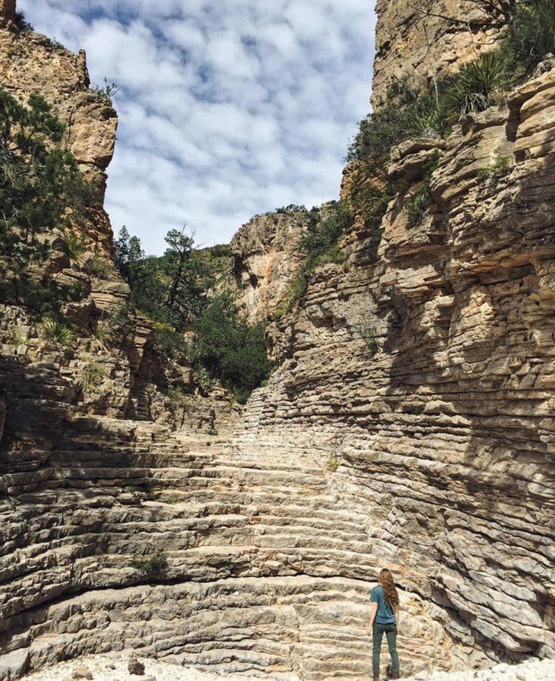
Texas’s highest point sits in this desert mountain range at 8,751 feet. Guadalupe Peak offers huge views across two states from its rocky summit.
The park protects an ancient fossil reef that once lay underwater. Now it rises from the desert like a massive stone wall. Fall brings spectacular colors when bigtooth maples turn red and orange in the canyons.
Try Devils Hall Trail for slot canyon walking through narrow rock passages. McKittrick Canyon showcases the best fall colors in Texas during late October and early November.
Located in far west Texas, 110 miles east of El Paso. No entrance fees – this park stays free. Camping runs $8 per night with no reservations accepted. First-come, first-served only.
Bring plenty of water. This is desert hiking with little shade and high temperatures from May through September. Spring and fall offer the best conditions for hiking.
The park sees just 200,000 visitors per year, making it one of the least crowded in the system.
vii. Capitol Reef National Park, Utah
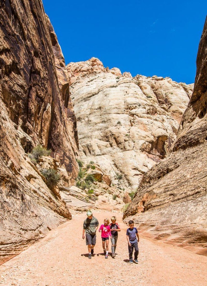
Utah’s forgotten park sits between the famous Big Five. Capitol Reef gets overshadowed by Zion and Arches, which means you get red rock country without the crowds.
The Waterpocket Fold runs for 100 miles through the park – a wrinkle in the earth’s crust that exposes millions of years of colorful rock layers. Pioneer history lives on in the Fruita area, where you can still pick apples and cherries in season.
Hickman Bridge makes an easy 1.3-mile hike to a natural stone arch. For slot canyon fun, try Capitol Gorge, where pioneers carved their names into canyon walls.
The park sits in south-central Utah, 2.5 hours from Salt Lake City. Entry costs $15 per vehicle for seven days. Camping runs $30 per night, with some sites taking reservations.
Visit in spring or fall for perfect weather. Summer gets hot, but early morning hiking works fine.
viii. Trinity Alps Wilderness, California
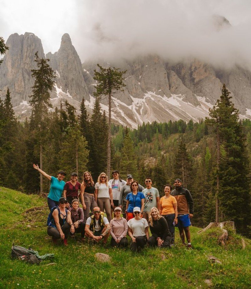
Northern California’s best-kept secret covers 500,000 acres of granite peaks, alpine lakes, and dense forests. Think Yosemite’s granite spires with a fraction of the people.
The wilderness straddles the Klamath Mountains, three hours north of San Francisco. Over 600 lakes and ponds dot the landscape, many holding native trout populations.
Canyon Creek Lakes Trail leads 6 miles to stunning alpine basins surrounded by granite walls. Stuart Fork Trail accesses the heart of the wilderness with multiple lake options.
Day hiking needs no permits. Overnight camping requires free wilderness permits available at trailheads or ranger stations. Popular areas limit group sizes to 12 people.
Snow blocks high country access from November through May. Summer brings perfect conditions, but also some bugs near lakes in July.
Access from Highway 3 or 299. No entrance fees. Camping at nearby state parks costs $35 per night, but dispersed camping stays free in national forest areas.
ix. Russian Wilderness, California
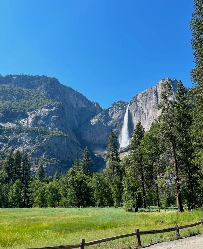
This compact 12,000-acre wilderness packs incredible scenery into a small space. Granite peaks, clear lakes, and meadows full of wildflowers create a miniature Sierra Nevada experience.
Located in northern California’s Klamath Mountains, the area centers around Russian Peak at 8,196 feet. Despite the small size, over a dozen alpine lakes hide in cirque basins.
The Russian Lake Trail covers 5 miles round-trip to the main lake. For peak baggers, Russian Peak adds another 2 miles of cross-country scrambling from the lake.
No permits needed for day use. Overnight camping requires free wilderness permits from the Klamath National Forest. Group size limits remain at a maximum of 12 people.
The wilderness sits at a high elevation, meaning it receives snow from November through June. July and August offer the best weather and wildflower displays.
Access via Forest Road 93 off Highway 3. Rough dirt roads require high-clearance vehicles for the last few miles to the trailheads.
x. New River Gorge National Park, West Virginia
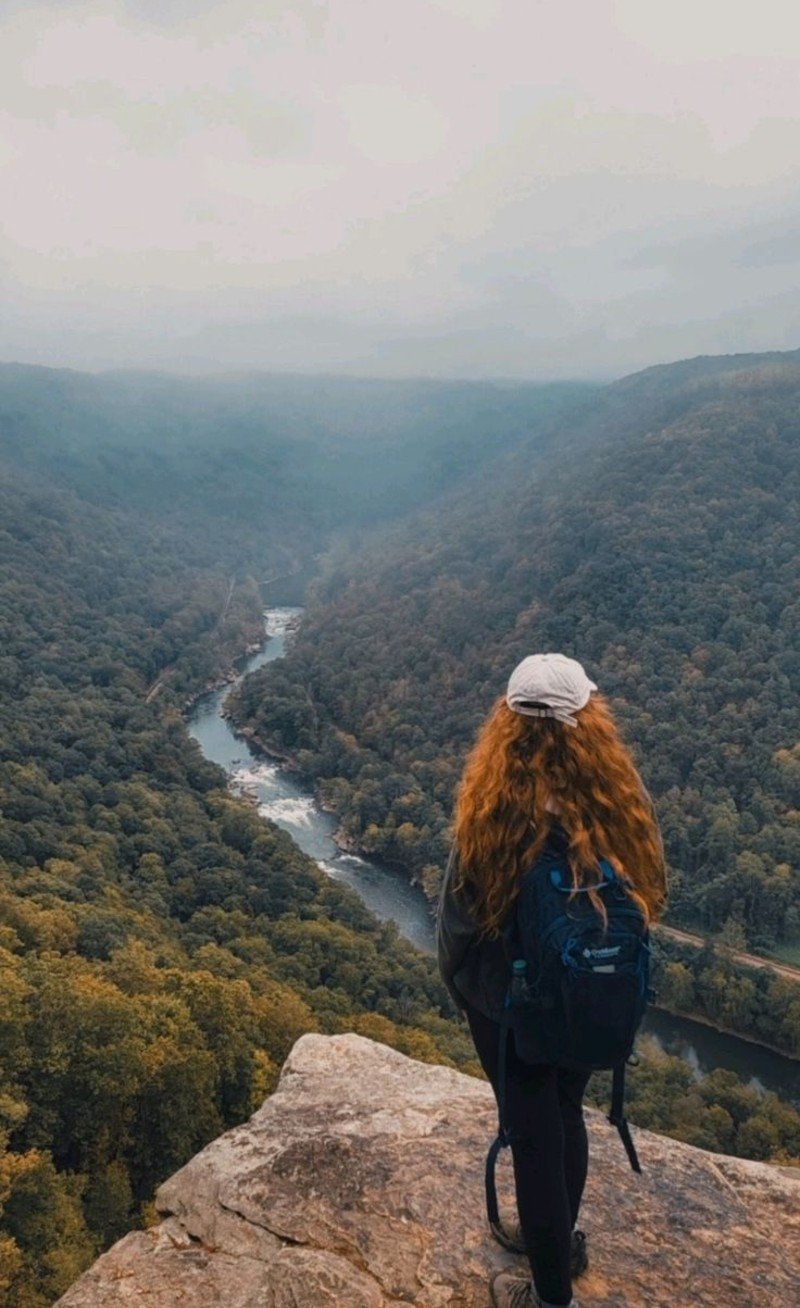
America’s newest national park opened in 2020, and most people still don’t know about it. The New River carved a 1,000-foot-deep gorge through the Appalachian Mountains here.
The park protects 70,000 acres in southern West Virginia. World-class rock climbing, whitewater rafting, and hiking attract adventure seekers. The New River Bridge spans 876 feet above the water – one of the highest vehicle bridges in America.
Long Point Trail offers spectacular bridge views with just a 1.6-mile hike. Endless Wall Trail runs along cliff tops for multiple overlook points.
Spring brings wildflowers and moderate temperatures. Fall showcases brilliant foliage colors. Summer can get hot and humid, but morning hiking works well.
Located two hours south of Charleston, West Virginia. The park sees about 1.5 million visitors annually – busy for West Virginia but quiet compared to the Great Smoky Mountains’ 12.9 million.
xi. Dolly Sods Wilderness, West Virginia
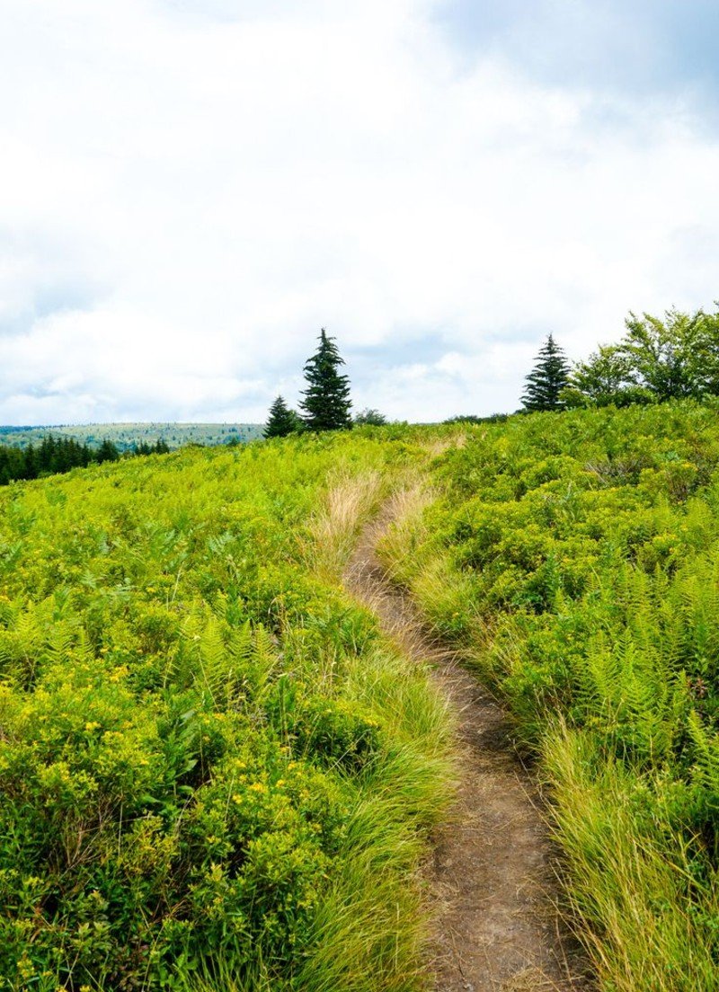
This high-altitude plateau feels more like Canada than West Virginia. At 4,000 feet, the ecosystem includes plants and wildlife typical of areas much farther north.
The 17,371-acre wilderness features open meadows, windswept heath, and scattered rock formations. Cranberry bogs and stunted trees create a unique landscape unlike anywhere else in the mid-Atlantic.
Bear Rocks Trail leads 1.5 miles to expansive views across the Allegheny Mountains. Dolly Sods Loop covers 7 miles through the best scenery the area offers.
No permits needed. Free wilderness camping follows Leave No Trace principles. Nearby camping at Seneca Shadows Campground costs $30 per night.
The weather changes fast here. Prepare for wind, rain, and temperature drops even in summer. Fall brings incredible colors but also hunting season – wear bright orange.
Located in eastern West Virginia, 3 hours from Washington, DC. Rough forest roads require careful driving, especially in wet conditions.
This spot sees far fewer people than Shenandoah National Park, just 150 miles south.
xii. Mountain Lake Wilderness, Virginia/West Virginia
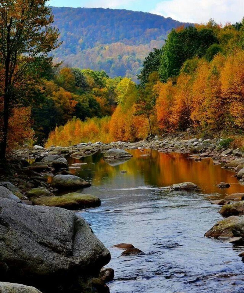
This 11,113-acre wilderness straddles the Virginia-West Virginia border along the Continental Divide. Mountain Lake itself sits at 3,875 feet – one of only two natural lakes in Virginia.
The wilderness protects a high plateau ecosystem, rare in this region. War Spur Trail connects to the Appalachian Trail for extended hiking options.
Mountain Lake Loop circles the lake in 5 miles of easy walking. White Rock Falls Trail leads to a scenic waterfall with swimming holes below.
Day hiking requires no permits. Overnight camping needs free permits from the Jefferson National Forest. Group size limits remain at a maximum of 10 people.
The lake water level changes dramatically from year to year due to underground drainage patterns. Sometimes it nearly disappears, other times it fills.
Access via Route 700 from Blacksburg, Virginia. No entrance fees. Mountain Lake Lodge provides upscale accommodations, while camping at nearby state parks costs $32 per night.
xiii. Cranberry Wilderness, West Virginia
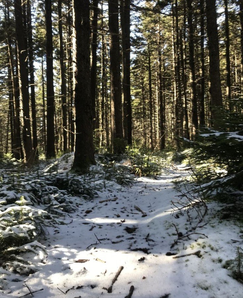
This 47,815-acre wilderness protects the headwaters of the Cranberry River in a pristine mountain watershed. Old-growth forests, clear streams, and abundant wildlife make this a special place.
The wilderness sits at high elevation in the Monongahela National Forest. Cranberry River itself provides excellent trout fishing in crystal-clear mountain water.
Cranberry River Trail follows the main stream for 7 miles through virgin hemlock and hardwood forests. Lick Branch Trail climbs to high meadows with mountain views.
No permits required for day use or overnight camping. Free wilderness camping follows standard regulations. Developed camping at nearby Cranberry Mountain Campground costs $20 per night.
Fall brings spectacular color displays that rival New England. Spring wildflowers peak in May. Summer offers cool relief from hot valley temperatures.
Located in southeastern West Virginia, 2.5 hours from Charleston. Forest roads provide access but require careful driving in places.
xiv. 100-Mile Wilderness, Maine
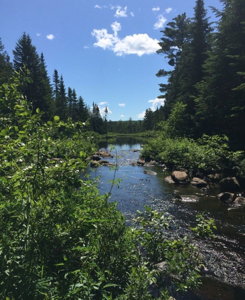
The most remote section of the Appalachian Trail runs 100 miles through Maine’s North Woods with no road crossings. This represents the largest roadless area east of the Mississippi River.
The section stretches from Monson to Baxter State Park through forests, lakes, and mountains. Katahdin, Maine’s highest peak, marks the northern end and the AT’s terminus.
You don’t need to hike all 100 miles. Access points at Golden Road and other logging roads allow shorter trips. Gulf Hagas offers a spectacular day hike to “Maine’s Grand Canyon.”
Long-distance hikers need permits for Baxter State Park. Day hiking and camping in national forest areas require no permits. Camping costs vary by location.
Black flies peak in May and June – bring serious bug protection. Fall brings incredible colors, but also hunting season. Winter requires expert-level skills and equipment.
Located in central Maine, 3 hours north of Portland. A remote location means serious preparation for any trip here.
xv. Baxter State Park, Maine
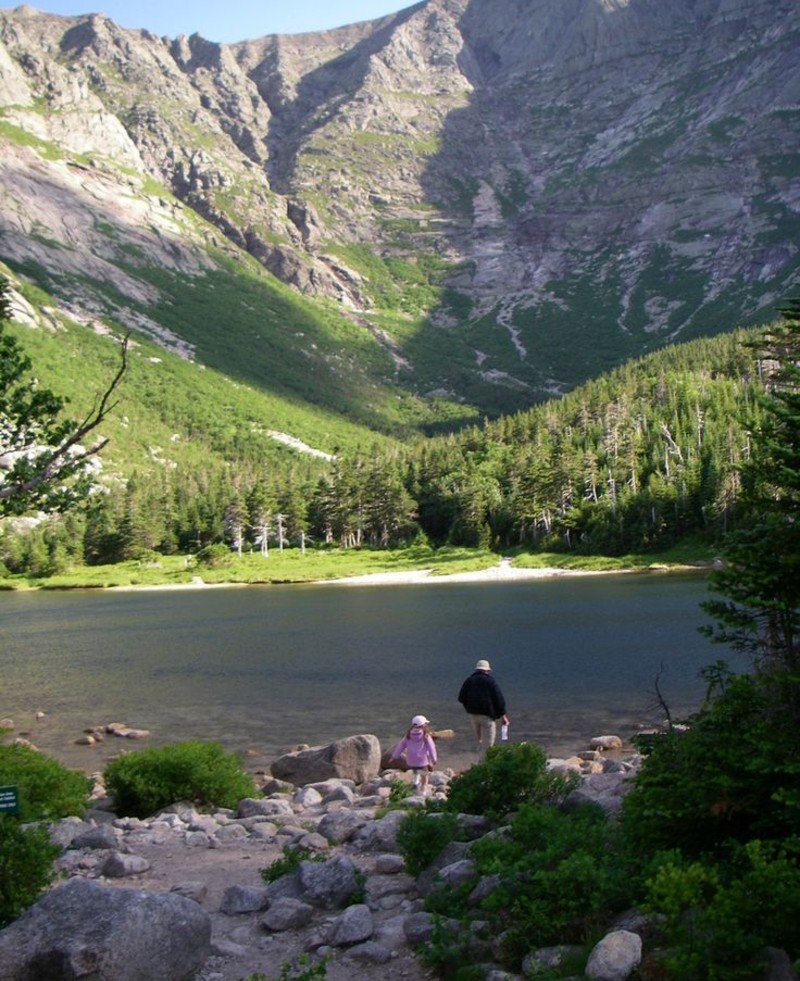
Maine’s crown jewel protects Mount Katahdin and 200,000 acres of forever-wild forest. The park operates under different rules than most places – no pets, no motorcycles, no RVs over 20 feet.
Mount Katahdin rises 5,267 feet as Maine’s highest peak and the northern terminus of the Appalachian Trail. The Knife Edge traverse offers some of the most exposed hiking in the eastern US.
Hunt Trail (the AT route) climbs 4,000 feet in 5.2 miles to Katahdin’s summit. Cathedral Trail provides a more technical scramble up steep rock faces.
Day use requires reservations during peak season. Camping reservations open exactly four months ahead at 7 AM and fill within hours for popular dates.
Entry costs $15 per vehicle for Maine residents, $18 for others. Camping runs $30-45 per night, depending on site type.
Located in north-central Maine, 4 hours from Portland. The park is closed to visitors from December through March except for cross-country skiing.
xvi. Lost Creek State Park, Montana
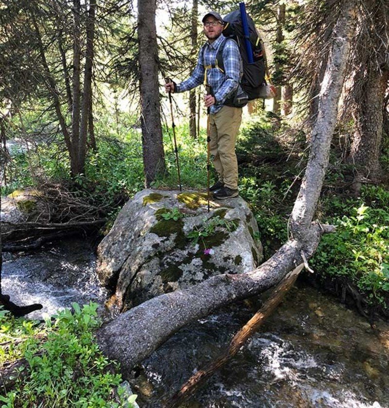
A hidden waterfall drops 50 feet through limestone cliffs in this small Montana park. Lost Creek disappears underground, then resurfaces as this dramatic cascade.
The park sits at 6,200 feet in the Anaconda-Pintler Wilderness area. Dense forests and mountain meadows surround the main attraction – the waterfall and its limestone cave system.
Lost Creek Falls Trail covers just 1 mile round-trip to reach the waterfall. Rock formations and caves provide exploration opportunities for those willing to scramble.
Montana resident entry costs $6 per vehicle, and non-residents pay $8. Camping runs $28-32 per night with 25 sites available.
The best time runs from May through September when roads stay clear. Spring brings higher water flows, making the falls more impressive. Fall offers cooler temperatures and fewer bugs.
Located in western Montana, 2 hours southeast of Missoula. The park sees minimal crowds compared to nearby Glacier National Park.
xvii. South Mountains State Park, North Carolina
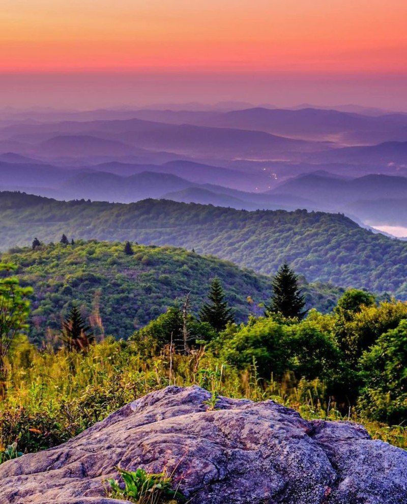
North Carolina’s largest state park features an 80-foot waterfall and 50 miles of hiking trails. The park protects 21,000 acres of Blue Ridge Mountain foothills.
High Shoals Falls drops 80 feet over granite cliffs, accessible via a moderate 2.8-mile hike. The park offers everything from easy nature walks to challenging backpacking loops.
Crowders Mountain Trail climbs to panoramic views from exposed rock faces. Camping areas provide base camps for exploring the extensive trail system.
Entry costs $9 per vehicle for adults. Camping runs $23 per night for tent sites, $32 for sites with hookups. Reservations recommended for weekends.
Spring brings wildflowers and mild temperatures. Summer can get hot, but waterfalls provide cooling relief. Fall showcases brilliant foliage colors throughout the mountains.
Located in western North Carolina, 45 minutes southwest of Charlotte. Much closer and less crowded than the Great Smoky Mountains National Park.
xviii. Isle Royale National Park, Michigan
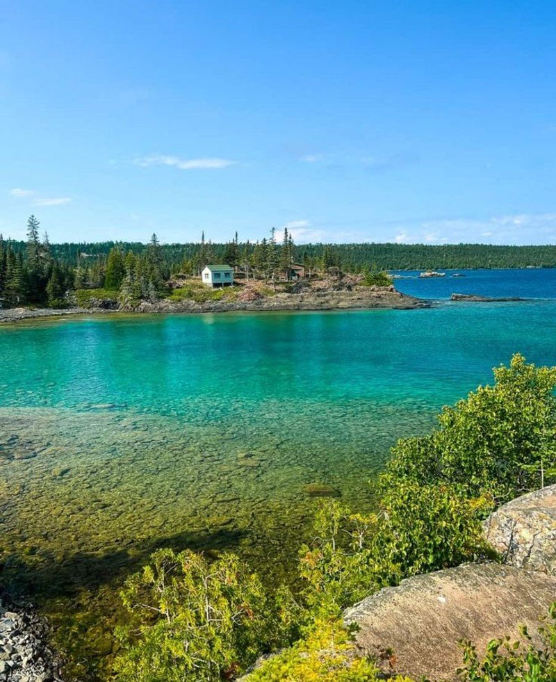
America’s most isolated national park sits on an island in Lake Superior, accessible only by boat or seaplane. This creates one of the most pristine wilderness experiences in the lower 48 states.
The island stretches 45 miles long but only 9 miles wide. Wolves and moose populations provide one of nature’s longest-studied predator-prey relationships.
Greenstone Ridge Trail runs the island’s length for serious backpackers. Day hikers can explore shorter loops from Rock Harbor or Windigo areas.
Getting there requires planning. Ferries run from Grand Portage, Minnesota (3 hours) or Copper Harbor, Michigan (4.5 hours). Round-trip ferry costs $75-140 per person.
No entrance fees once you reach the island. Camping costs $4 per person per night. All supplies must come from the mainland – no stores exist on the island.
The park closes from November through March when Lake Superior freezes. Summer brings perfect hiking weather, but also bugs in July.
Only 28,000 people visit annually, making this the least crowded national park in the system.
Planning Your Mountain Alternative Adventure
Bad planning ruins good trips. Miss a permit deadline, show up in the wrong season, or pack the wrong gear, and your dream adventure becomes an expensive disaster.
i. When to Visit Each Region
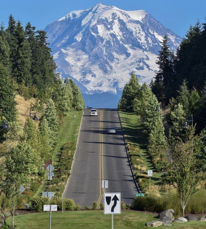
Pacific Northwest (North Cascades, Mount Jefferson): July through September only. Snow blocks high trails until late June, and it returns in October. July brings wildflowers, August offers the most reliable weather, and September delivers fall colors with fewer crowds.
Rocky Mountains (Black Canyon, Maroon Bells, Great Basin): May through October for lower elevations, July through September for high alpine areas. Great Basin’s Wheeler Peak stays snowy until July. Colorado’s 14ers need July or August attempts.
Western Desert (Guadalupe, Capitol Reef): March through May and October through November. Summer temperatures hit 100°F+ daily. Winter brings snow to higher elevations but keeps lower areas accessible.
California Mountains (Trinity Alps, Russian Wilderness): June through October. Snow lingers in the high country until late June. September offers the best weather with stable conditions and fewer afternoon thunderstorms.
Eastern Mountains (New River Gorge, Dolly Sods, Cranberry): April through October. Spring brings wildflowers, summer offers long days, and fall delivers spectacular colors. Avoid hunting seasons in November – check state regulations.
State Parks and Islands (Baxter, Isle Royale): May through October. Isle Royale’s ferries stop running after October. Baxter requires winter permits for cross-country skiing only.
ii. Permit Requirements That Actually Matter
Most of these destinations need zero permits for day hiking. Here’s what you actually need to plan:
Mount Jefferson Wilderness: Permits required May through September. Cost $6 per person. Released exactly 14 days before your trip at 7 AM Pacific Time on Recreation.gov.
Baxter State Park: Day-use reservations required in peak season (July-August). Camping reservations open exactly 4 months ahead at 7 AM. They sell out in hours for popular dates.
Isle Royale: No permits needed, but ferry reservations are essential. Book early – only limited seats available daily.
iii. Real Costs You Can Budget For

These numbers come from actual 2025 travel costs, not marketing fluff.
Budget Trip (7 days): $700-1,200
i. Camping every night: $0-25 per night
ii. Gas: $200-350 depending on distance
iii. Food from grocery stores: $150-200
iv. Park fees: $0-15 per destination
v. Basic gear if needed: $100-200
Mid-Range Trip (7 days): $1,300-2,300
i. Mix of camping and budget hotels: $50-80 per night
ii. Gas plus some flights: $300-500
iii. Restaurant meals mixed with camping: $300-400
iv. Park fees and permits: $50-100
v. Quality gear upgrades: $200-300
Luxury Trip (7 days): $2,400-4,800
i. Nice hotels or glamping: $200-400 per night
ii. Flights to save driving time: $400-800
iii. Restaurant meals and guided experiences: $600-1,000
iv. All fees and premium permits: $100-200
v. Top-tier gear and clothing: $500-800
Compare this to crowded national parks, where hotel rooms near popular parks cost 40% more than these alternatives.
iv. Essential Apps That Work Without Cell Service

AllTrails: Download maps before you go. Works offline with GPS tracking. Free version covers most needs, premium costs $36 per year.
Gaia GPS: More detailed maps than AllTrails. Better for off-trail exploration. Costs $40 per year but includes hunting and fishing maps.
Recreation.gov: Book permits and campgrounds. Download confirmations before leaving home, since cell service doesn’t exist in many areas.
Weather Underground: More accurate mountain weather than basic phone apps. Check hourly forecasts and radar before heading out.
SkyAlert: Sends severe weather warnings to your phone even without cell service using satellite connections.
v. Safety Rules That Keep You Alive
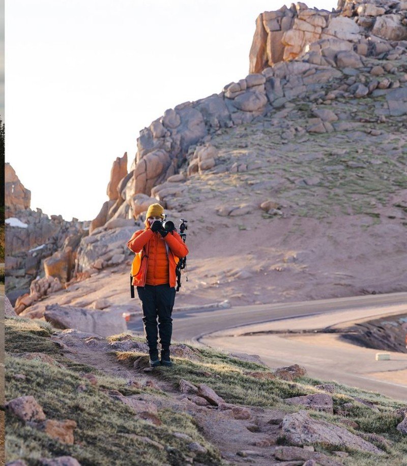
Mountain weather changes in minutes. Check forecasts, but pack for conditions 20 degrees colder and wind twice as strong as predicted. Lightning kills hikers every year. Start early and turn back when clouds build.
Altitude hits harder than you think. Sleep one night at elevation before big hikes above 8,000 feet. Drink twice as much water as normal. Headaches, nausea, and fatigue mean going down immediately.
Tell someone your plans. Leave detailed trip plans with specific return dates. Include backup contact info for local rangers or sheriff departments.
Getting There: Transportation and Logistics
You’ll hit dirt roads, seasonal closures, and places where your GPS gives up. Here’s how to get there without getting stuck.
i. Gas Costs Are Actually Lower Now
Good news for road trippers. Gas averages $3.18-3.33 per gallon in 2025, which is 8.2% cheaper than in 2024. A 1,000-mile round trip costs about $120-140 in a typical car.
Calculate your costs using AAA’s trip calculator before you leave. Factor in mountain driving, which burns 10-15% more fuel than highway cruising.
ii. Your Car Can Get You Almost Everywhere
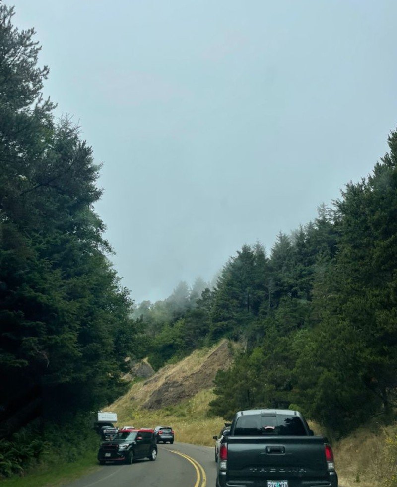
Most of these destinations need regular cars, not fancy 4WD trucks. The exceptions? Russian Wilderness and some Trinity Alps trailheads require high-clearance vehicles for the final few miles.
Check road conditions before you go. Forest Service websites list current closures and requirements for each area.
FAQs
Are these mountain destinations really as good as famous national parks?
Yes, many offer better experiences than crowded national parks. The North Cascades have more glaciers than the other 47 lower states combined, more than Glacier National Park. The Black Canyon of the Gunnison features steeper cliffs than the Grand Canyon. Isle Royale provides true wilderness that most national parks lost decades ago.
Do I need reservations and permits like I do for national parks?
Most don’t require any permits at all. Mount Jefferson Wilderness requires $6 permits released 14 days before your trip. Baxter State Park needs day-use reservations during peak seasonIsle Royale requires ferry reservations, but no park permits
Are these places too difficult for average hikers?
No. Each destination offers easy to moderate trails alongside challenging options. Most feature 1-3 mile day hikes to major viewpoints or waterfalls. You don’t need technical climbing skills or wilderness experience.
How much money will I actually save compared to national parks?
Significant savings on multiple fronts. Most alternatives charge $0-15 entry fees versus $35 for national parks. Camping costs $20-30 per night versus $40+ near popular parks. Hotels in gateway towns cost 40% less than accommodations near Yellowstone or Yosemite.

