

Airfare prices jump every week, but open roads still offer real freedom. Summer travel often brings crowded parks and endless lines. Iconic national parks like Zion and Yellowstone experience massive spikes in crowds every June through August.
Waiting 45 minutes for a shuttle bus or circling a parking lot for an hour burns through precious vacation time. The U.S. National Park System sees over 330 million annual visits, with most visitors packed into a few peak summer months.
You do not have to spend your vacation stuck in bumper-to-bumper traffic. Choosing smart alternate routes lets you enjoy great views without the headaches. Here are 7 uncrowded road trips summer 2026 offers. These routes feature dramatic views, top regional food, and quiet trails.
7 US Road Trips You’ll Regret Not Doing This Summer (Save These Routes Before They Blow Up)
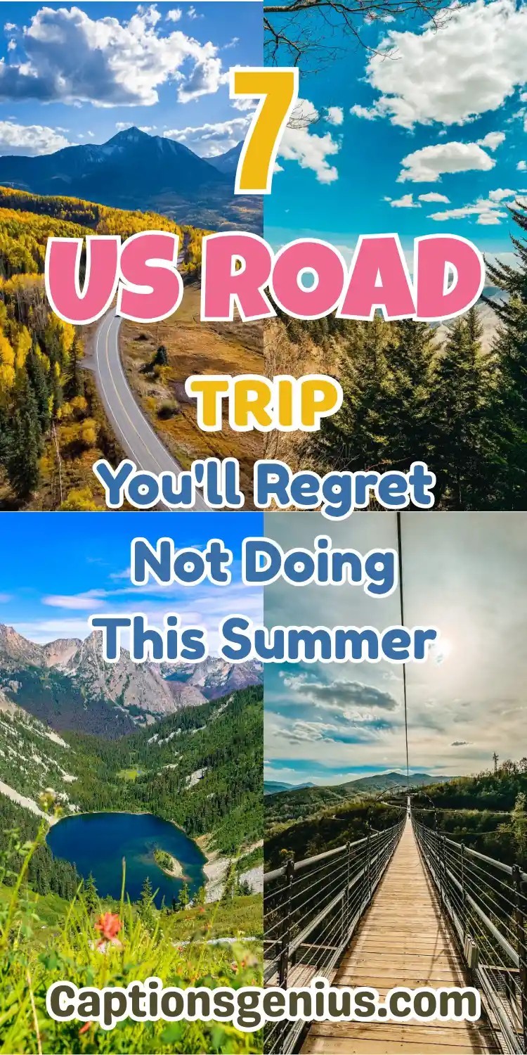
1. The Keweenaw Peninsula Loop: Michigan’s Lake Superior Secret
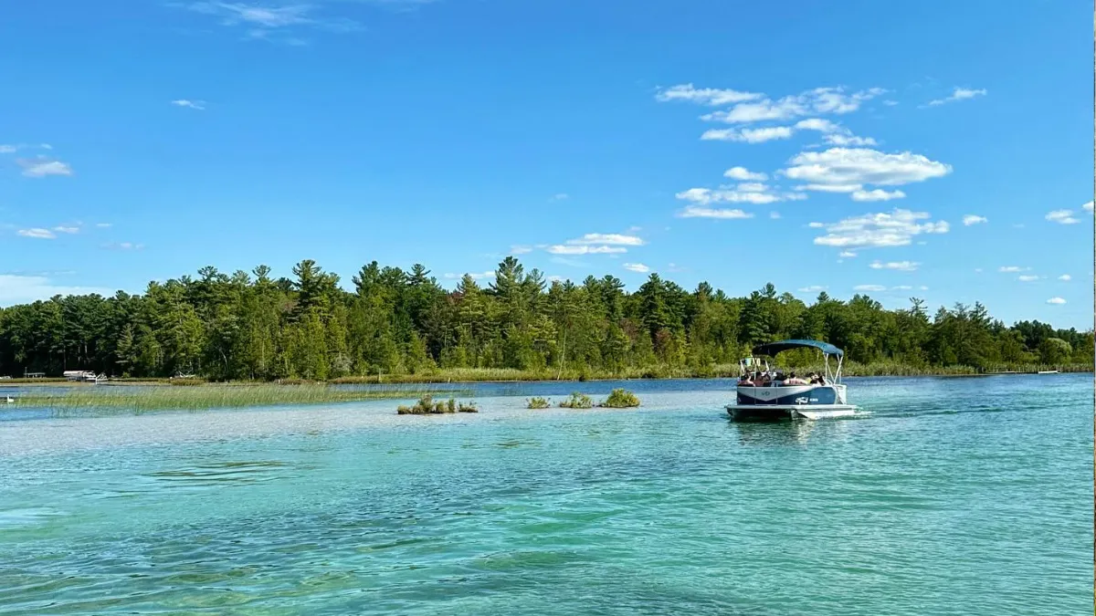
Route Specs:
* Total Distance: 110 miles round trip from Houghton, Michigan
* Suggested Time: 2 to 3 days
* Driving Highways: M 26 and US 41 Northbound
* Key Regions: Copper Country, Keweenaw County, Lake Superior Shoreline
Copper Harbor Highlights
Discover breathtaking overlooks, fascinating mining history, and hidden waterfalls on one unforgettable adventure.
Brockway Mountain Drive
Enjoy a 9.5-mile scenic drive soaring 720 feet above Lake Superior with spectacular 360° panoramic views of forests and shoreline.
Delaware Copper Mine
Explore an 1847 underground mine and experience the fascinating story of early American industrial history.
Manganese Falls
Visit a secluded 45-foot waterfall hidden inside a dramatic narrow gorge near Copper Harbor.
Michigan’s northernmost tip sticks directly into the cold waters of Lake Superior. This remote peninsula gives you dramatic copper coastlines and thick pine forests without heavy crowds. Start your drive in Houghton and take M 26 north along the shoreline. The road winds past rocky beaches and historic copper mining towns. Take US 41 on your return leg to cut through high canopy forests that feel untouched.
Where to Eat and Local Flavor
Stop at The Jampot near Eagle River. Byzantine monks run this bakery and sell fresh thimbleberry jam alongside wild berry pastries. For lunch, grab traditional Cornish meat pasties at Roy’s Pasties and Bakery in Houghton.
The 2026 Permit and Travel Reality Check
Copper Harbor now serves as an official IMBA Epic mountain biking hub with over 150 miles of singletrack trails. Infrastructure upgrades are underway across Keweenaw County, but major resort development has not arrived yet. You do not need entry permits for public trails here. Late July through August offers warm weather and fewer blackflies than early June.
2. Utah’s Scenic Byway 12: The Uncrowded Red Rock Highway
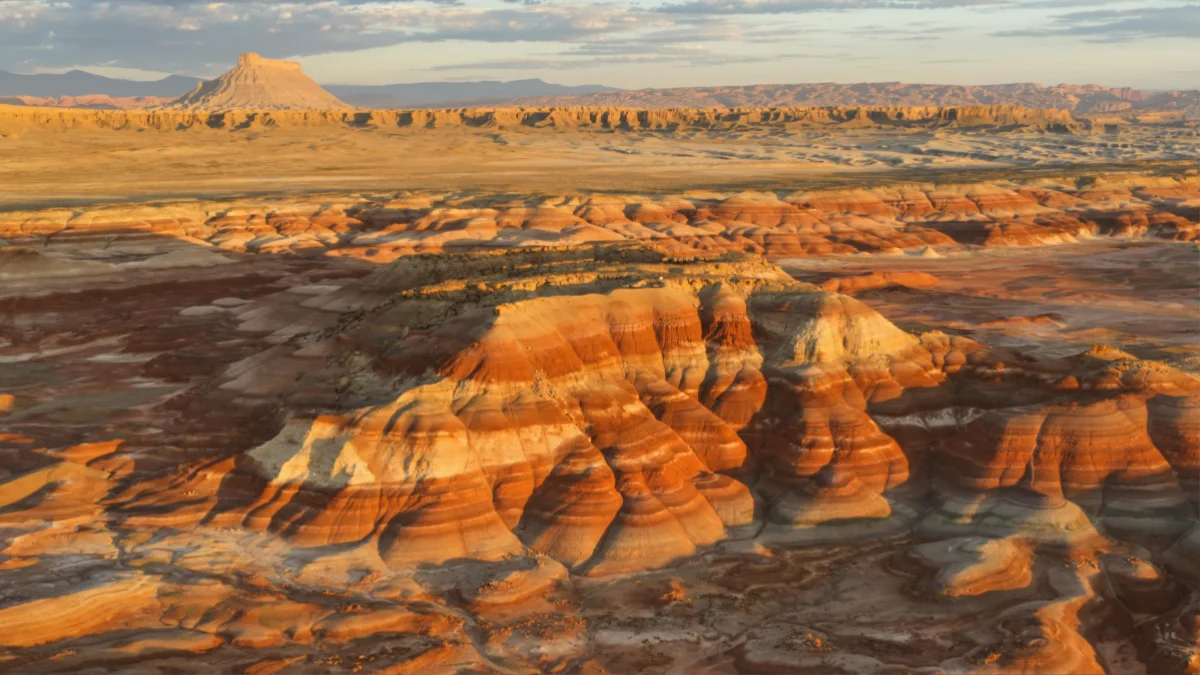
Route Specs:
* Total Distance: 122 miles point to point
* Suggested Time: 2 to 3 days
* Driving Highways: Utah State Route 12
* Key Regions: Garfield and Wayne Counties, Escalante, Boulder Mountain
Utah State Route 12 connects Bryce Canyon National Park to Capitol Reef National Park. Most visitors hurry between those two popular parks on major highways. Driving Byway 12 directly takes you through deep red rock canyons, slickrock plateau country, and alpine pine forests. The terrain changes fast as elevations jump from 4,000 feet near Escalante up to 9,600 feet across the Boulder Mountain summit.
Top Highlights & Scenic Stops
The Hogback
Drive across a legendary razor-thin ridge where dramatic hundreds-foot drop-offs surround the highway with almost no guardrails.
Calf Creek Falls
A rewarding 6-mile round-trip hike leads to a spectacular 126-foot waterfall cascading into a crystal-clear swimming hole.
Escalante River Canyons
Explore quiet pullouts leading into beautiful slot canyons that offer Zion-like scenery with far fewer crowds.
Where to Eat and Photo Spots
Stop at Kiva Koffeehouse, a circular stone structure built right into the canyon wall near mile marker 73. Enjoy espresso and breakfast sandwiches while looking out over the Escalante River Valley.
Pro Driver Warning
A 30-mile stretch between Escalante and Boulder has zero cell signal and no gas stations. Fill your tank in Escalante before heading north. Download offline maps on Gaia GPS or Recreation.gov before leaving your hotel. Day use parking at Lower Calf Creek Falls fills up by 8:00 AM during summer weekends, so arrive early.
3. The San Juan Skyway: Colorado’s Alpine Thrill Ride
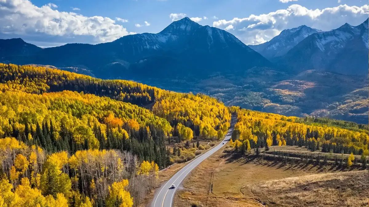
Route Specs:
* Total Distance: 236 mile loop
* Suggested Time: 3 to 4 days
* Driving Highways: US 550, US 160, and Colorado State Highway 145
* Key Regions: Durango, Silverton, Ouray, and Telluride
This paved loop circles through the San Juan Mountains in southwestern Colorado. It crosses three high mountain passes above 10,000 feet elevation: Coal Bank Pass, Molas Pass, and Red Mountain Pass. You will see historic silver mining sites, alpine lakes, and tall granite peaks.
Driving Experience on the Million Dollar Highway
The stretch of US 550 between Ouray and Silverton is called the Million Dollar Highway. S-curves are cut directly into cliff faces. The road has limited shoulders and no guardrails in several places. Driving this section demands focus, but it delivers unmatched views of the San Juan range.
Colorado Adventure Highlights
Three unforgettable stops for scenery, relaxation & mountain experiences.
Box Canyon Waterfall Park
Walk across dramatic suspension bridges above an 85-foot roaring waterfall hidden inside a narrow quartzite canyon.
Telluride Free Gondola
Ride the public gondola between Telluride and Mountain Village while leaving your car parked — completely free.
Orvis Hot Springs
Relax in natural geothermal pools near Ridgway and recharge after an adventurous day exploring the mountains.
Direction Strategy for Vertigo
If you dislike steep drops on your passenger side, drive this loop south to north from Durango to Ouray. Driving north keeps your vehicle on the inside lane against the mountain wall rather than along the outer cliff edge.
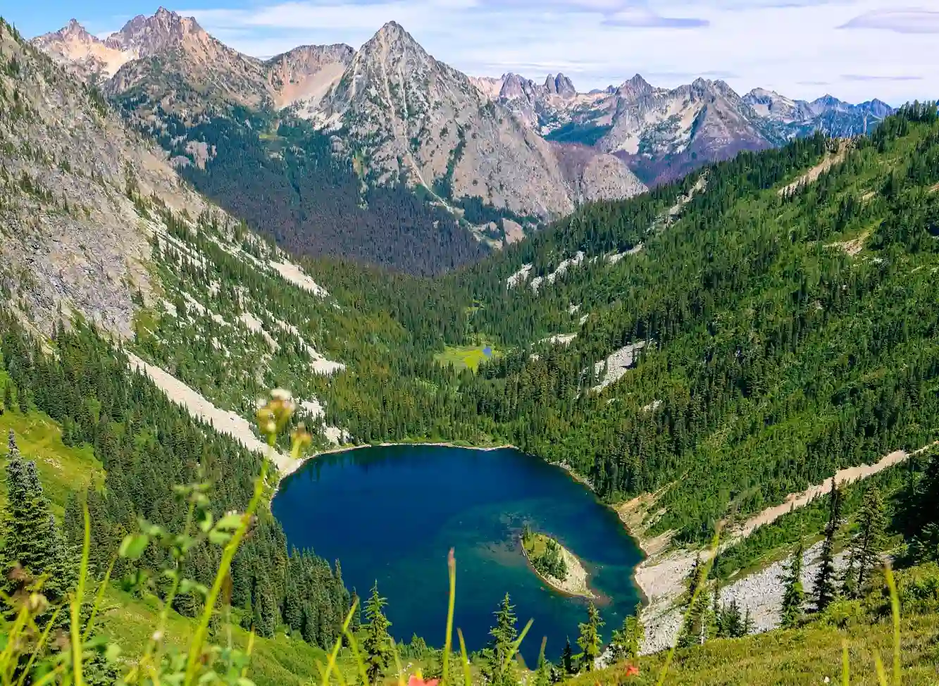
4. The Cascade Loop: Washington’s “American Alps” Circuit
Route Specs:
* Total Distance: 440 mile loop
* Suggested Time: 4 to 5 days
* Driving Highways: US 2, WA 20, and WA 153
* Key Regions: North Cascades, Methow Valley, Wenatchee River Valley
The Cascade Loop wraps around the northern mountain ranges of Washington State. It offers dramatic alpine lakes, glacier views, apple orchards, and dry interior valleys. While Mount Rainier National Park gets over 1.6 million annual visits, nearby North Cascades National Park receives under 40,000 visitors each year. This route gives you total mountain solitude without missing out on incredible sights.
Top Stops Along the Cascade Scenic Route
Five unforgettable destinations between alpine villages, turquoise lakes, orchards, and mountain passes.
Where to Eat and Refresh
Grab lunch at The Duck and Duster or sample local beers at Old Schoolhouse Brewery in Winthrop. Try fresh fruit pies at roadside stands through Cashmere.
The 2026 Permit Reality Check
North Cascades National Park does not charge an entrance fee, and you do not need day use vehicle reservations to drive State Route 20. Backcountry camping requires advance permits via Recreation.gov. Check state road reports before heading out, as late snowpacks can keep high passes closed into early June.
5. West Virginia Route 219 & WV-150: The Appalachian Wilderness Drive
Route Specs:
* Total Distance: 160 miles
* Suggested Time: 2 days
* Driving Highways: US 219, WV 150, and US 19
* Key Regions: Monongahela National Forest, New River Gorge National Park
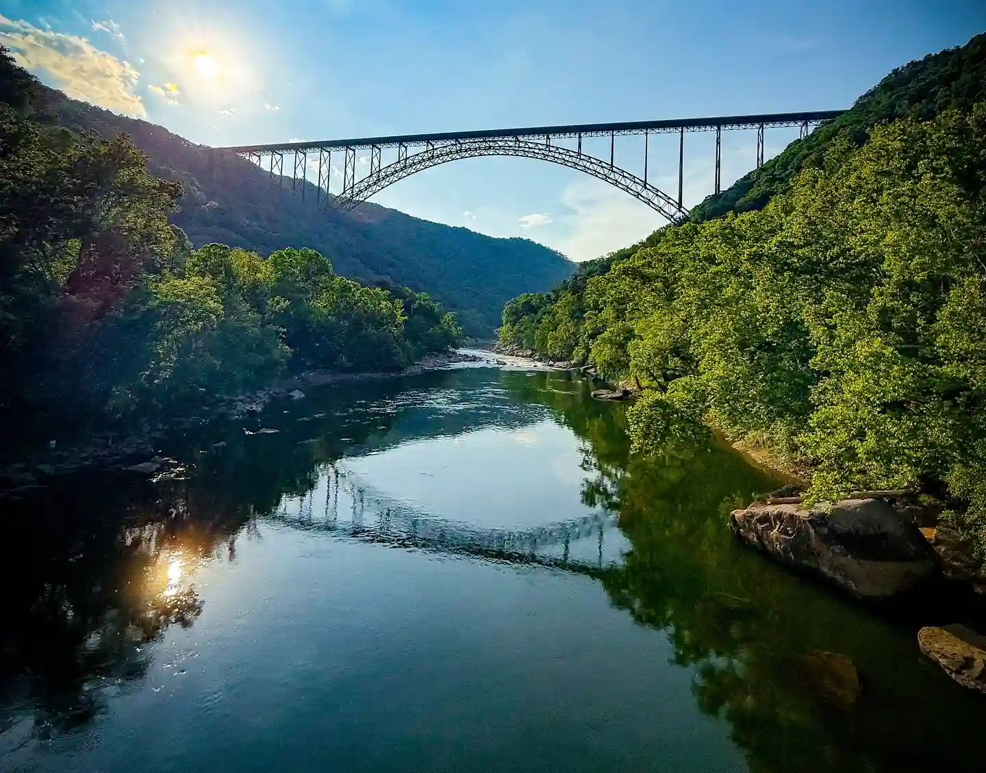
This eastern mountain route cuts through the heart of the Allegheny Plateau. Start in historic Lewisburg and head north along US 219 before turning onto the Highland Scenic Highway (WV 150). The road climbs high onto mountain ridges surrounded by thick forest. You can end your drive at New River Gorge National Park, America’s newest national park destination.
Top Outdoor Adventures
Discover breathtaking mountain scenery, ancient bogs, and one of America’s most spectacular bridge viewpoints.
Cranberry Glades Botanical Area
Walk along a wooden boardwalk through 750 acres of fascinating acidic bogs that resemble an Arctic tundra.
Highland Scenic Highway
Travel WV 150 to elevations above 4,500 feet and stop at multiple scenic overlooks for panoramic forest valley views.
New River Gorge Bridge
Visit the overlook near Fayette Station Road to admire the remarkable 876-foot-high steel arch bridge towering above the gorge.
Food and Brewery Highlights
Eat dinner in Fayetteville at Secret Sandwich Society or grab a wood-fired pizza at Pies and Pints. Pair your meal with local craft brews after a day spent outdoors.
Activity Options
The region offers world-class whitewater rafting on the New and Gauley Rivers. Mountain bikers can explore dirt trails near Davis and Thomas. Driving these state highways keeps you clear of interstate traffic while giving you easy access to deep forest trails.
6. The Driftless Region Loop: The Midwest’s Hidden Canyon Country
Route Specs:
* Total Distance: 250 mile circuit
* Suggested Time: 3 days
* Driving Highways: Great River Road (US 61 / WI 35), IA 76, MN 16
* Key Regions: Southwestern Wisconsin, Northeastern Iowa, Southeastern Minnesota
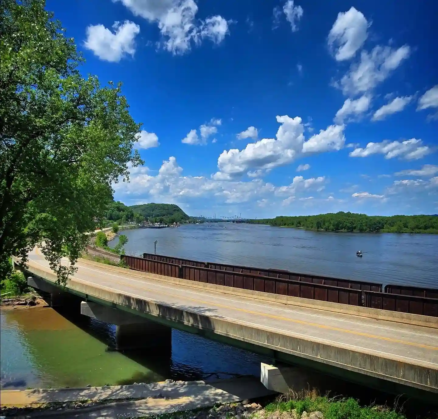
Glaciers flattened most of the Midwest during the last ice age, but they completely missed this 24,000 square mile zone. The Driftless Region features steep limestone bluffs, deep river valleys, and winding trout streams. This drive follows the Mississippi River between Dubuque, Iowa, and Winona, Minnesota.
Farm to Table Food Culture
This region leads the country in organic farms per capita. Stop in mineral-rich towns like Mineral Point, Wisconsin, to visit working art studios and local dairies. Sample award-winning blue cheese, fresh curds, and artisan apple ciders made right on the farms.
Weekend Itinerary Sequence
- Day 1: Start in Dubuque, Iowa. Drive north along IA 76 up to Effigy Mounds, then cross into Prairie du Chien, Wisconsin.
- Day 2: Follow Wisconsin State Highway 35 north along the river bluffs up to Viroqua for farm-fresh food stops.
- Day 3: Finish in Winona, Minnesota, taking in high river overlooks and historic downtown architecture.
7. The Cherohala Skyway: The Smoky Mountains Bypass Route
Route Specs:
* Total Distance: 43 miles point to point
* Suggested Time: 1 to 2 days
* Driving Highways: Tennessee State Route 165 and North Carolina State Route 143
* Key Regions: Cherokee and Nantahala National Forests
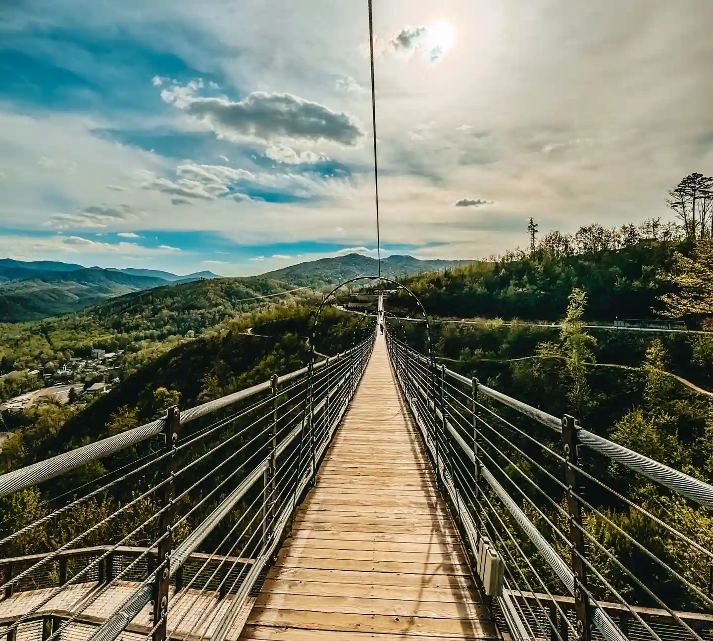
Great Smoky Mountains National Park is the most visited national park in America. Major access roads around Gatlinburg and Pigeon Forge often gridlock for hours every summer afternoon. The Cherohala Skyway offers a quiet alternative just to the south. It connects Tellico Plains, Tennessee, to Robbinsville, North Carolina. The road cost over 100 million dollars and took 34 years to build through dense mountain wilderness.
Why This Beats National Park Traffic Jams
The Cherohala Skyway climbs up to 5,400 feet elevation at the North Carolina state line. You get wide views of mountain ridges and cool summer temperatures without commercial strip malls, billboard clutter, or heavy truck traffic.
Top Nature Pitstops
Three unforgettable scenic stops for waterfalls, ancient forests, and peaceful mountain lakes.
Bald River Falls
Experience a spectacular 90-foot waterfall that is visible directly from your car along scenic Bald River Road near Tellico Plains.
Joyce Kilmer Memorial Forest
Walk beneath 400-year-old giant yellow poplars inside one of the last old-growth forests remaining in the eastern United States.
Lake Santeetlah
Relax beside a peaceful mountain lake with 70+ miles of forest shoreline, perfect for kayaking and quiet swimming.
Practical Travel Tips
The Cherohala Skyway has no gas stations, restaurants, or commercial stops along its 43-mile stretch. Pack a lunch, bring plenty of water, and fill your gas tank in Tellico Plains or Robbinsville before starting your climb.
Reclaim Your Summer Road Trip
Planning a great summer trip does not mean waiting in hours-long park lines or fighting for parking spots. These seven routes take you through underappreciated mountain passes, deep river canyons, and scenic coastal loops across America. You get incredible views and rich local food cultures while skipping the worst tourist traffic jams.
Summer Road Trip Prep
Download Offline Maps
Mountain roads and remote canyons often lose signal. Save Google Maps or Gaia GPS routes before leaving.
Check Permit Portals
Reserve day-use permits, campgrounds, and park access in advance through Recreation.gov.
Pack Backup Supplies
Carry extra water, paper maps, and use GasBuddy for fuel planning before entering remote areas.
Save these scenic drives in America, pack your gear, and hit the highway before these quiet routes end up on everyone else’s vacation list.