
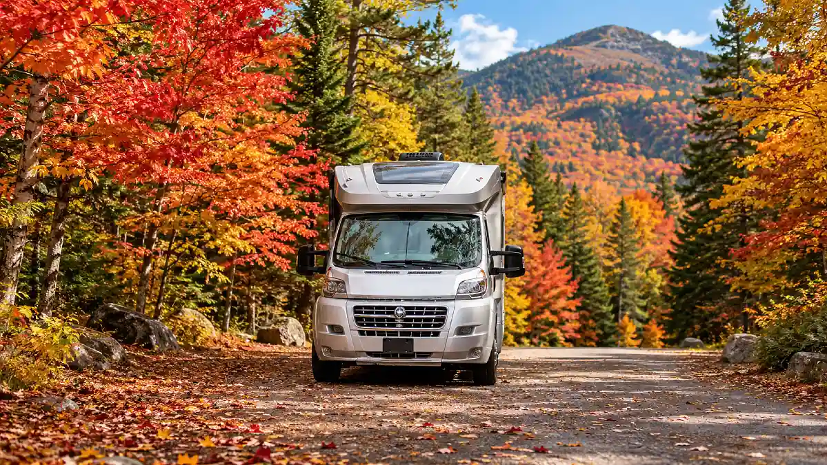
A glowing fall road can look perfect on your phone. Red maples line the curves, mountains rise ahead, and the campground seems close enough for an easy afternoon drive.
Then the real problems appear. Your RV may be too tall for a tunnel, the scenic road may be closed, the campground may have shut off its water, or a mountain storm may turn dry pavement into ice.
That is why a good RV fall colors trip starts with the route, not the leaves. A road that works well for a car may be a very different drive in a motorhome or with a trailer behind you.
1. Check Your RV Height and Length Before the Scenic Road
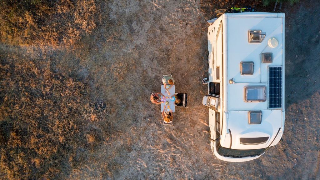
Start with the numbers on your own rig.
Know the full height of your RV with rooftop air conditioners, antennas, vents, and other equipment included. You should also know its width and total travel length.
That last number matters if you tow. Your travel length is the complete combination on the road, not simply the length printed on the trailer brochure.
This matters because famous fall drives can have strict limits.
At Acadia National Park in Maine, several roads and parking areas are closed to RVs or trailers. The park also warns about low historic bridges. One Park Loop Road underpass has a clearance of 11 feet 8 inches, and other sections have their own limits.
Glacier National Park gives another clear example. On part of Going to the Sun Road, vehicles or vehicle combinations over 21 feet long or 8 feet wide are prohibited. Vehicles above 10 feet can also have trouble with rock overhangs on part of the route.
That can turn a famous scenic road into a route you need to see another way.
Do this before leaving: Write your height, width, and total length on a card in the cab. Save the numbers in your phone too.
Then compare those numbers with the official road page for every major scenic drive on your route.
2. Find the Grades and Curves Your Map App Does Not Show

Two roads can both be 40 miles long and feel completely different behind the wheel of an RV.
One may be a broad highway. The other may climb through tight curves with narrow shoulders and long downhill sections.
The Blue Ridge Parkway is a good example. The National Park Service warns about steep grades, narrow shoulders, limited sight distance, curves that tighten as you drive through them, and slower travel for large RVs. The parkway also has 26 tunnels.
Those details matter more than the distance on your map.
Long descents can also place more demand on your brakes. Follow the instructions for your vehicle and braking system, use appropriate gears, and do not treat a mountain descent like a flat interstate.
You also need more time.
A route that looks like a quick drive may become a slow afternoon once you add curves, overlooks, traffic, and careful downhill driving.
Before committing to a mountain road, check:
- Road grade information
- Tunnel clearances
- Sharp curves
- Narrow shoulders
- RV restrictions
- Safe places to pull over
- Your vehicle maker’s guidance for mountain driving
If the road makes you uncomfortable before you even leave, choosing a wider route is a reasonable decision. You can still enjoy the foliage without making the hardest road the center of the trip.
| Route Detail | What to Check | Why It Matters in an RV |
|---|---|---|
| Height clearance | Tunnels, bridges, branches, structures | Roof equipment can make your RV taller than expected |
| Total length | Road and park vehicle limits | Long rigs need more room on curves and pullouts |
| Road width | Narrow lanes and shoulders | Less room leaves little margin for error |
| Mountain grade | Long climbs and descents | Steep roads put more demand on engine and brakes |
| Sharp curves | Switchbacks and tight bends | Longer vehicles may need more turning space |
| Pullouts | Size and entrance angle | Some overlooks cannot safely hold larger RVs |
The route does not have to be dangerous to be a poor fit for your RV. Sometimes a wider road with fewer views gives you a much easier drive and still gets you to the same fall color area.
3. Check the Road Again for Closures and Detours
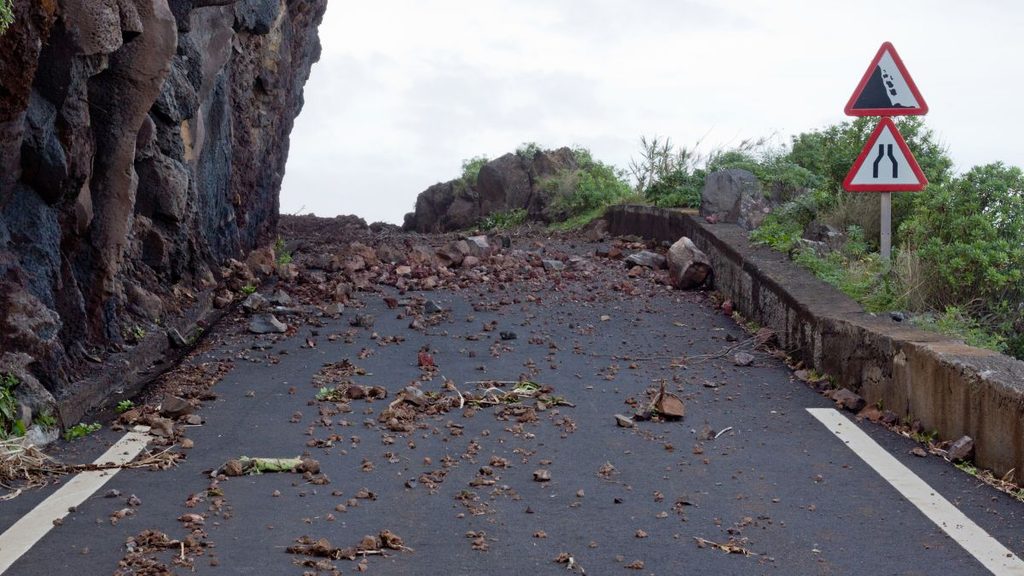
Do not assume a road is open because it was open when you planned the trip.
Fall is still roadwork season in many mountain areas. Storms, rockfall, bridge repairs, fires, flooding, and maintenance can also change access quickly.
The Blue Ridge Parkway is a useful 2026 example. Its official road page was reporting active bridge work and partial closures in September, and the National Park Service warns that conditions can change after the page is updated.
A closure is annoying in a car. In an RV, the detour itself can become the bigger problem.
A mapping app may send you onto a smaller road without knowing your exact height, length, weight, or turning needs.
So check two things.
First, confirm that the scenic road is open.
Second, check whether the official detour is suitable for your RV.
Look at the state transportation page, park alerts, and road authority information the morning you leave. Check again when stopping for fuel or lunch if conditions are changing.
This is one of the easiest habits to add to your RV scenic route planning. It may take five minutes, but it can prevent a very long turnaround.
4. Look for Snow and Traction Rules Before You Climb
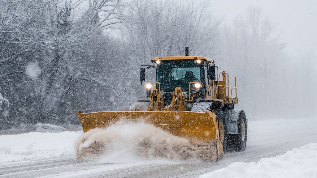
Bright leaves at lower elevations can make the whole area feel like fall.
The mountain above you may already be dealing with winter.
That difference matters because temperature drops as you climb. A cool rain near your campground can become snow, slush, or ice higher on the route.
Colorado shows why fall RV travelers need to check road laws as well as forecasts. The Colorado Department of Transportation can activate passenger traction and chain requirements when conditions call for them, and mountain travel rules can overlap with the fall travel season.
The right question is not simply, “Will it snow in town?”
Check the forecast for the pass, summit, or highest section of your planned drive.
Look at:
- Overnight low temperature
- Snow forecast
- Wind
- Ice warnings
- Road cameras
- Active traction rules
- Chain requirements
- Current road closures
The National Park Service gave the same type of warning in Denali in September 2026. Fall road access there can change as snow, ice, and mud develop, and sections may close with little notice.
Your fall colors are not worth forcing a mountain route through weather you or your RV are not prepared to handle.
Sometimes the better choice is simple. Stay lower for the day and let the storm move through.
| What You Find | What It Means | Best Next Step |
|---|---|---|
| Dry roads and stable forecast | Normal fall driving conditions | Continue with your planned checks |
| Heavy rain on mountain roads | Lower visibility and slick pavement | Slow down or choose a lower route |
| Snow at higher elevation | Conditions may differ from town | Check pass conditions before climbing |
| Ice warning | Grip can change quickly | Delay the climb or choose another road |
| Strong wind warning | Large RVs can be harder to control | Consider waiting or changing routes |
| Active traction restrictions | Extra equipment may be required | Follow state rules before continuing |
| Road closure | Your planned route no longer works | Use your checked RV safe backup |
A weather forecast by itself is not enough. Match the forecast with the exact elevation and road you plan to drive.
A sunny campground can sit below a cold, snowy mountain pass.
5. Make Sure Your RV Can Actually Park at the View
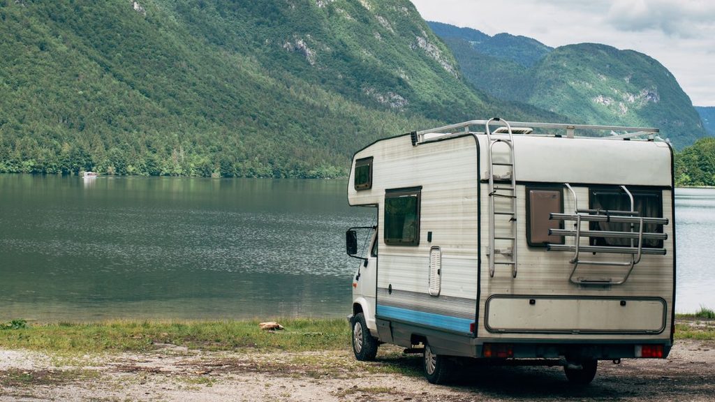
Finding a road that accepts your RV does not mean you will have somewhere to park it.
This catches many travelers by surprise.
Scenic overlooks were often built for ordinary cars. Some have short spaces, tight entrances, or no safe room for a motorhome with a tow vehicle.
Acadia National Park says oversized vehicles cannot be accommodated in some areas, and several popular parking locations restrict RVs or trailers.
Fall crowds make the problem harder.
Great Smoky Mountains National Park warned on September 10, 2026 that autumn brings high visitor volume, congested roads, and limited parking. Popular areas such as Cades Cove and other major stops can become especially busy.
So check parking before you build the entire day around one overlook.
If your RV cannot fit comfortably, you have several options. Leave it at your campground and use a smaller vehicle. Use a park shuttle where one is available. Pick a larger overlook. Or visit early enough to avoid the busiest part of the day.
Do not stop partly in the travel lane because the perfect photo spot is full.
The best fall view is the one you can reach and leave safely.
6. Mark Fuel and Service Stops Before the Empty Stretch

Scenic roads often feel remote because they are remote.
That is part of the appeal. It also means fuel, propane, repair shops, and large parking areas may be farther apart than you expect.
Shenandoah National Park tells Skyline Drive visitors that fuel and electric charging choices are limited. The park also reminds RV drivers to check the 12 foot 8 inch clearance at Marys Rock Tunnel.
Do not make the final fuel station your planned fuel station.
Traffic can burn more fuel than expected. So can a long mountain climb, a generator, or a detour caused by a closure.
Before entering a long scenic section, mark at least one practical fuel stop before you need it.
Make sure the station is easy for your RV to enter and leave. A cheap gas price does not help much if the lot requires a turn your trailer cannot comfortably make.
It also helps to mark:
- Propane stops if needed
- Dump stations
- Tire shops
- Grocery stores
- Large parking areas
- A second fuel option
A little reserve gives you choices.
Running nearly empty removes them.
7. Check Whether Your Campground Still Has Water and Services
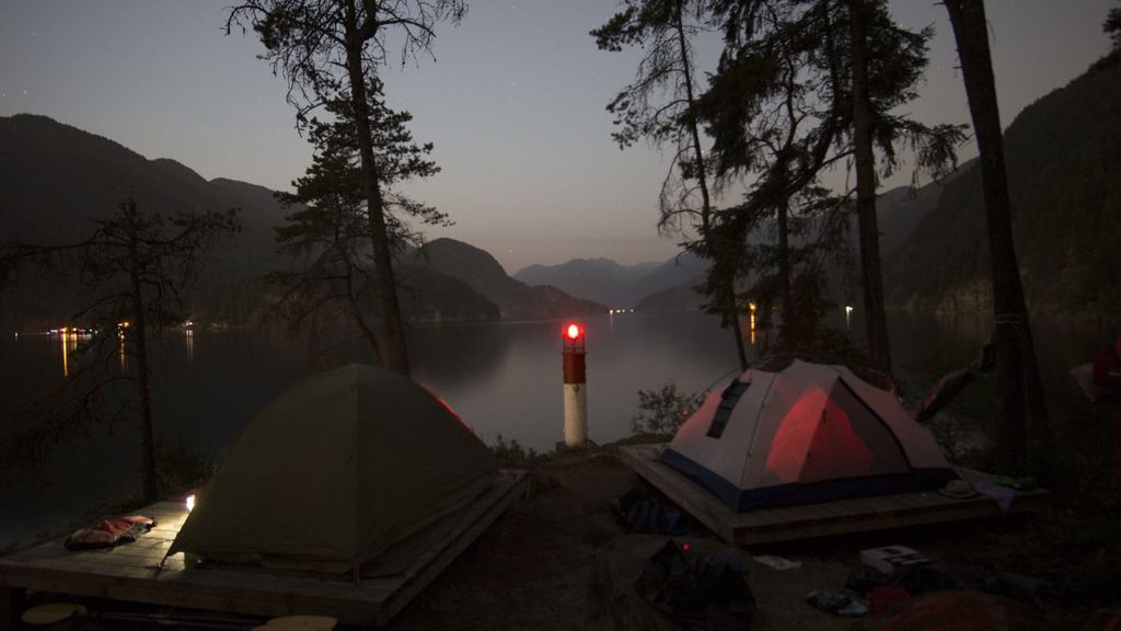
Fall campground planning has one trap that is easy to miss.
The campground may still exist on the map while the service you need has already stopped.
Some campgrounds close completely. Others remain open with fewer bathrooms, no potable water, no dump station, or fewer camping loops.
Rocky Mountain National Park shows how much closing dates can vary inside one park. For 2026, different campgrounds close on dates ranging from early September into October, while Moraine Park changes into winter operations later in October.
Other federal campgrounds give even more specific warnings.
A 2026 Recreation.gov listing for Silver Dollar Campground in Colorado says campground water is unavailable for the season and nearby RV dump stations at Printer Boy and White Star are closed.
That is why “campground open” is not enough information.
Check each of these separately before arrival:
- Potable water
- Electric hookups
- Dump station
- Restrooms
- Showers
- Trash service
- Camp store
- Generator rules
- Exact closing date
Do this even if you stayed there before.
Seasonal operations can change from year to year.
If water availability looks uncertain, arrive with enough for your immediate needs instead of counting on the campground faucet.
| Campground Detail | Confirm Before Arrival | Backup if Unavailable |
|---|---|---|
| Potable water | Is the system still on? | Fill your fresh water tank earlier |
| Dump station | Is it open for the season? | Mark another dump station |
| Electric hookups | Are all loops still operating? | Plan for battery or generator use where allowed |
| Restrooms | Are facilities open? | Make sure your RV bathroom is ready |
| Showers | Are they operating? | Plan without them |
| Trash service | Is collection still active? | Be ready to pack waste out |
| Propane or camp store | Are seasonal services open? | Refill and shop before arrival |
| Campground entrance | Are late arrivals allowed? | Know check in and gate rules |
This check matters more as fall moves later into the season. An open campsite does not always mean every summer service is still running.
8. Download the Route and Build One RV Safe Backup
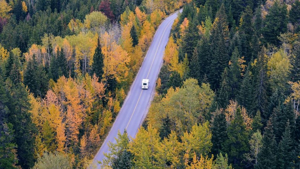
Your phone signal often disappears at the exact point where you need directions most.
Mountain valleys, forest roads, and remote park areas can have weak or missing coverage.
Do your important route work before leaving reliable service.
Save your campground information, road restrictions, reservation details, and maps to your phone. A screenshot of an official closure notice can also be useful when you no longer have a connection.
Then create one backup route.
The important part is making sure the backup works for the RV too.
Do not wait for a closure and then accept the first reroute your phone offers. That new road may have a low bridge, tight turn, weight limit, or steep grade you never checked.
Official road systems should be part of your routine.
New England 511, for example, combines transportation information from Maine, New Hampshire, and Vermont. It can show incidents, closures, roadwork, restrictions, and other current road information.
For Colorado mountain routes, CDOT points travelers to COtrip for current road conditions and alerts.
Use an RV routing tool for planning if you like one. But when there is a conflict, follow posted signs and the agency responsible for the road.
The sign over the pavement matters more than the line on your screen.
9. Chase the Right Elevation, Not a Fixed Peak Date
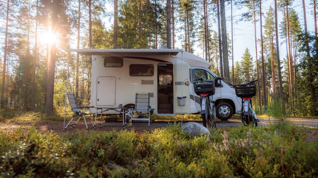
This final check may save your fall trip even when the leaves do not follow your calendar.
Do not treat a “peak foliage weekend” as a promise.
The Blue Ridge Parkway explains that predicting one exact peak date is difficult because the road stretches across many elevations and plant communities. Higher elevations may begin changing first, with color moving down the mountains as the season continues.
Weather can change the display too.
The National Weather Service notes that temperature and rainfall affect the timing of fall color. Strong wind can strip leaves quickly, while drought, frost, and other conditions can affect how long the display lasts.
This gives RV travelers an advantage.
Your home moves.
If the highest ridge is past peak, a lower valley may still have good color. If one side of the region was hit by wind, another area may look better.
Check current foliage reports a few days before departure. Then compare them with elevation and weather.
Do not force a famous road simply because an old chart says that is where the color should be.
Sometimes moving 30 or 40 miles can give you a much better day.
Use This 10 Minute RV Fall Route Check
Before leaving camp, run through the same routine every time.
- Confirm your RV height, width, and total length.
- Check the scenic road’s vehicle restrictions.
- Review current closures and official detours.
- Check weather at the highest elevation.
- Review traction or chain rules.
- Confirm RV parking at major stops.
- Mark fuel and service locations.
- Confirm campground water and operating status.
- Download the route and check current foliage conditions.
You do not need to spend all morning researching.
Most of these checks are quick once you know where to look.
10. Check Whether You Will Reach Camp Before Dark

Fall quietly removes driving time from your day.
The sunset comes earlier, and mountain roads can get dark before open areas nearby. Add fog, rain, or heavy tree cover and visibility can drop even faster.
This matters when you are driving a large RV into an unfamiliar campground.
Finding a small entrance, reading site numbers, backing into a space, and spotting low branches are all easier while you still have daylight.
Do not plan your arrival using driving time alone.
Add time for fuel stops, overlooks, traffic, slower mountain sections, and any stop you make for fall photos.
A two hour drive can easily become much longer when the road is busy.
Try to leave yourself a daylight buffer rather than planning to arrive just before sunset.
If delays eat up that buffer, decide early whether you should skip the final overlook or stop somewhere safer for the night.
The leaves will still be there in the morning.
11. Find a Safe Turnaround Before You Need One
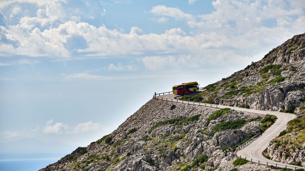
One of the worst places to discover a route problem is several miles down a narrow road.
A low bridge, closed gate, tight campground entrance, or unexpected restriction can leave you searching for enough space to turn a long RV around.
Check the route ahead before entering smaller scenic roads.
Satellite imagery can help you see large intersections, parking areas, visitor centers, and other places where a turnaround may be possible. Still, use current official road information to confirm access.
Pay special attention when you see signs for:
- Dead end roads
- One lane sections
- Low clearance
- Weight limits
- Seasonal gates
- Roads with no large vehicle access
- Campground loops with size restrictions
Never count on a private driveway or small roadside shoulder as your escape plan.
Know where the next safe decision point is before you pass the last easy place to turn around.
That simple habit can save you from backing a trailer down a narrow road or attempting a turn your rig was never meant to make.
The Best Fall RV Route Is One Your Rig Can Handle
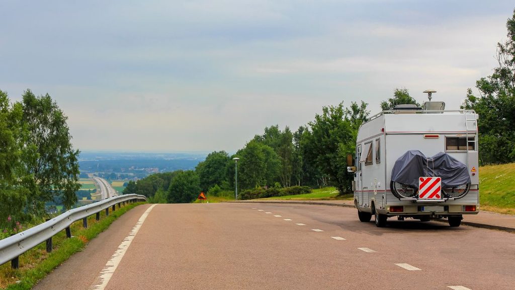
A beautiful road is only part of a good RV fall colors trip.
You also need enough clearance, manageable grades, legal access, safe parking, fuel, an open campground, and a backup plan if weather changes.
Check the route the evening before you travel. Then check road conditions and weather again in the morning, because fall mountain conditions can change quickly.
The leaves may be what gets you on the road. But good RV route planning is what lets you slow down, stop safely, and actually enjoy them.