“If you see someone using GaiaGPS, I figure they know what they’re doing,” says Sean from Mountain-Hiking.com. “If I see someone using AllTrails, suddenly I’m not so sure they know what they’re doing.” That’s a harsh judgment from an experienced hiker. But Sean has good reasons to worry.
Millions of people use popular hiking apps like AllTrails, Komoot, and Strava every weekend. These apps get downloaded millions of times. They have thousands of positive reviews.
Professional guides use different tools. Search-and-rescue teams rely on different apps. Record-setting long-distance hikers choose completely different navigation systems.
Because the apps that work great for casual day hikes can create serious problems in real wilderness. What seems user-friendly to beginners can be dangerously misleading when you’re miles from help.
Why Pro Hikers Never Use These 4 Popular Trail Apps (The Truth Will Shock You)
The 4 Trail Apps Pro Hikers Actually Avoid
Walk into any outdoor gear shop and ask about hiking apps. You’ll hear the same names: AllTrails, Komoot, Hiking Project, and Strava. Millions of people use these apps every weekend.
But talk to search-and-rescue teams, mountain guides, or hikers with 20+ years of experience. They’ll tell you a different story. These popular apps have serious problems. Problems that can get you lost, injured, or worse.
i. AllTrails: The App That Gives False Confidence
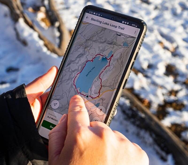
AllTrails has over 450,000 trails. Sounds great, right? Here’s the catch: many aren’t real trails at all.
Users can upload any GPS track they want. A bushwhack through poison ivy? Gets marked as a trail. A dangerous scramble over loose rocks? Also marked as a trail.
Scott Fitterman works with New Jersey Search and Rescue. He sees the problems firsthand. “What people call a ‘trail’ might be unmarked paths or herd trails,” he warns. “Those might be impossible to follow after leaves fall.”
The app doesn’t tell you which routes are official trails. It doesn’t warn you about private property. It treats a gentle nature walk the same as a technical climb.
ii. Komoot: Pretty But Limited
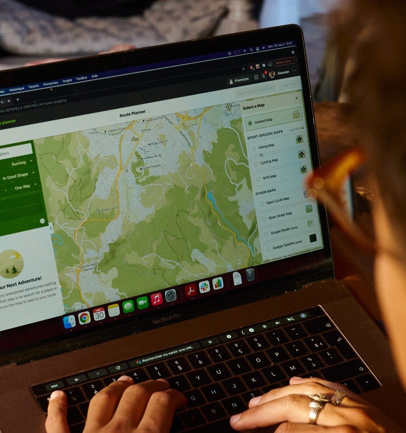
Komoot looks amazing. The interface is clean and easy to use. It’s perfect for casual walks in the city. But experienced mountain hikers avoid it for serious trips.
The offline maps lack detail. You can’t zoom in enough to see important features. The topographic maps are basic compared to professional tools.
Worse, Komoot struggles with mountain terrain. It might route you over a cliff because it doesn’t understand steep slopes. The app works great for bike paths. It fails in the backcountry.
iii. Hiking Project: Dead in the Water
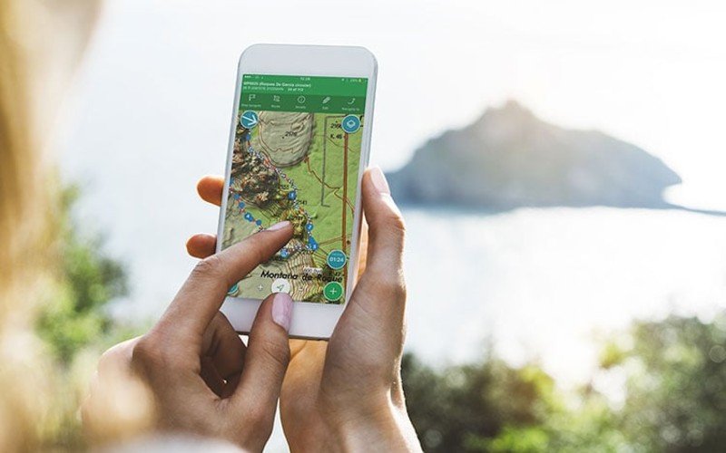
REI shut down Hiking Project in 2023. The app still exists, but no one updates it anymore.
Old trail conditions. Broken links. Missing safety warnings. Using dead software in the wilderness is asking for trouble.
Many hikers don’t even know it’s been discontinued. They’re planning trips with information from 2022.
iv. Strava: Built for Roads, Not Trails
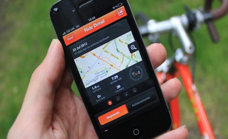
Strava tracks your workouts. It’s great for that. But it’s not a hiking navigation tool. The app doesn’t have detailed trail maps. It can’t help you find your way if you get lost. It’s designed for people who already know where they’re going.
Yet some hikers try to use Strava for backcountry trips. That’s like using a fitness tracker to navigate the Grand Canyon.
v. Why This Matters

These apps work fine for popular day hikes near cities. But they fail when you need them most in remote areas where a wrong turn means real danger.
Professional hiking apps focus on accuracy over social features. They use high-quality maps. They work offline. They help you plan safe routes. The difference can save your life.
Why AllTrails Is the Biggest Red Flag for Experienced Hikers
Sean from Mountain-Hiking.com puts it bluntly: “If I see someone using GaiaGPS, I figure they know what they’re doing. If I see someone using AllTrails, suddenly I’m not so sure.”
That’s harsh. But Sean has good reasons to worry.
AllTrails has become the most popular hiking app in America. Over 60 million people use it. But popularity doesn’t mean safety. And experienced hikers know the app has dangerous flaws.
i. The Trail That Wasn’t Really a Trail
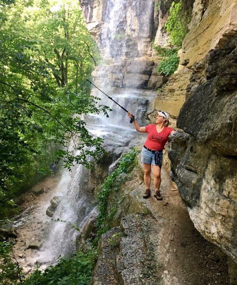
Take the Indian Staircase hike in Kentucky’s Red River Gorge. AllTrails marks it as a regular trail on their map. Thousands of people have hiked it based on that information.
The Indian Staircase is an off-trail bushwhack through difficult terrain. No official blazes. No maintained path. Just a user-created GPS track that someone uploaded years ago.
Adam Thompson, a photographer who documents AllTrails safety issues, explains the danger: “This results in people going into areas that may be outside their skill level. They have a false sense of security thinking they’re hiking on a trail.”
But AllTrails doesn’t tell users the difference. A maintained forest service trail looks the same as a dangerous scramble. Both get a blue line on the map.
ii. When Crowd-Sourcing Goes Wrong
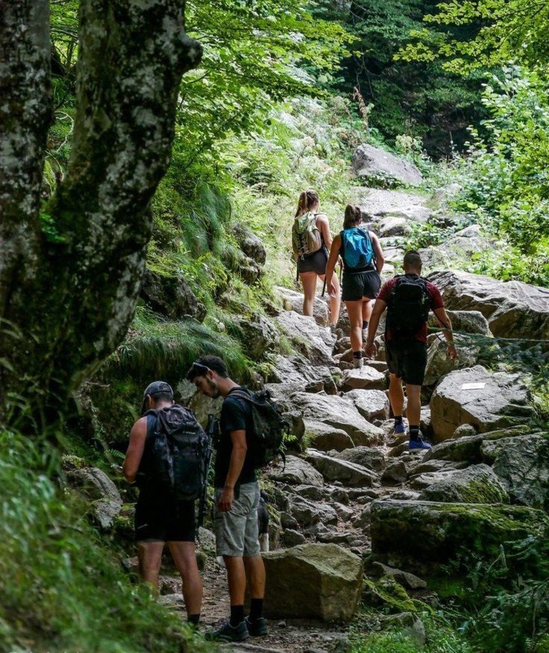
AllTrails lets anyone upload any route. No fact-checking. No safety review. No verification that it’s actually hikeable. This creates wild differences in information quality. You’ll see reviews like:
i. “Easy walk, great for families!” (for a 500-foot climb)
ii. “Serious hike, bring your A-game!” (for a 5,000-foot mountain)
The same trail gets completely different descriptions from different users. Worse, some routes cross private property. Users upload tracks without checking land ownership. You follow their route and end up trespassing on someone’s backyard.
Scott Fitterman sees this problem in search-and-rescue calls. “Higher skill-level hikers might cross dangerous terrain,” he warns. “That puts you at risk for injury.”
iii. The False Security Problem
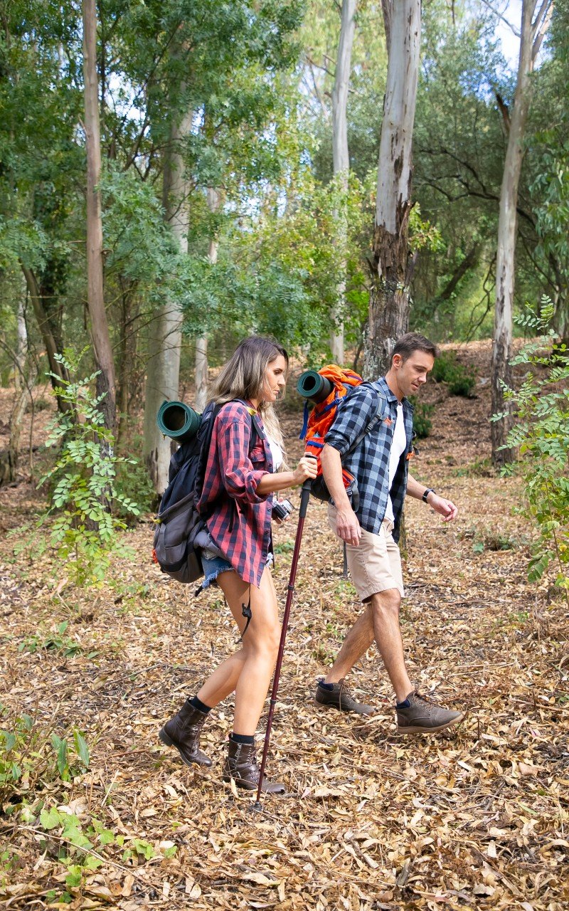
AllTrails gives beginners a dangerous sense of confidence. The app makes everything look safe and easy.
You see a trail with 4.5 stars and 500 positive reviews. The photos look beautiful. The distance seems reasonable. You assume it’s fine for your skill level.
But those reviews don’t mention the unmarked trail sections. They don’t warn about the cliff exposure. They don’t tell you the route becomes impossible to follow in bad weather.
iv. Missing Safety Features That Matter
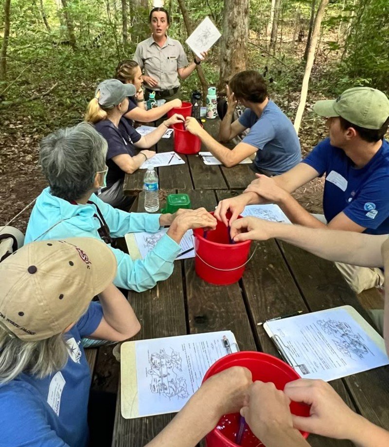
AllTrails focuses on social features over safety prep. The app doesn’t remind you to pack the 10 essentials. It doesn’t check if you know basic first aid. It doesn’t suggest telling someone your hiking plan.
Compare that to apps used by professionals. They include safety checklists. They help you plan escape routes. They integrate with emergency services.
AllTrails treats hiking like social media. Post photos, collect badges, share achievements. The focus is on fun, not safety.
v. Environmental Damage You Don’t See

Adam Thompson documents this issue in Kentucky: “Making these places too easy to visit results in their destruction.”
Secret waterfalls get overrun. Delicate ecosystems get trampled. Popular photo spots turn into parking lots.
AllTrails makes remote places accessible to millions of unprepared visitors. Many don’t know Leave No Trace principles. They damage the places they came to enjoy.
vi. The Professional Alternative

Experienced hikers use different tools. They prefer apps with curated, accurate information. They want detailed topographic maps. They need offline functionality that actually works. Most importantly, they never rely on just one source of information.
Professional hikers check multiple maps. They research trail conditions from official sources. They prepare for emergencies. They tell people their plans.
AllTrails encourages the opposite approach. Point, click, go. No planning needed. The app will handle everything.
That works fine for popular day hikes near parking lots. But it fails in real wilderness where mistakes have serious consequences.
vii. What This Means for You
AllTrails isn’t evil. It serves a purpose for casual hikers on well-marked trails. But if you want to move beyond beginner hiking, you need better tools. Tools that prioritize accuracy over popularity. Tools that help you plan for problems, not just good weather.
The difference between amateur and professional thinking isn’t about skill level. It’s about taking responsibility for your own safety.
The Navigation Apps Pro Hikers Actually Swear By
The apps that search-and-rescue teams trust. The tools that have guided hikers safely through thousands of miles of wilderness.
These aren’t the apps you see in Instagram ads. They’re built for accuracy, not social media likes. Here’s what the pros rely on when their lives depend on good navigation.
i. Gaia GPS: The Professional’s Choice
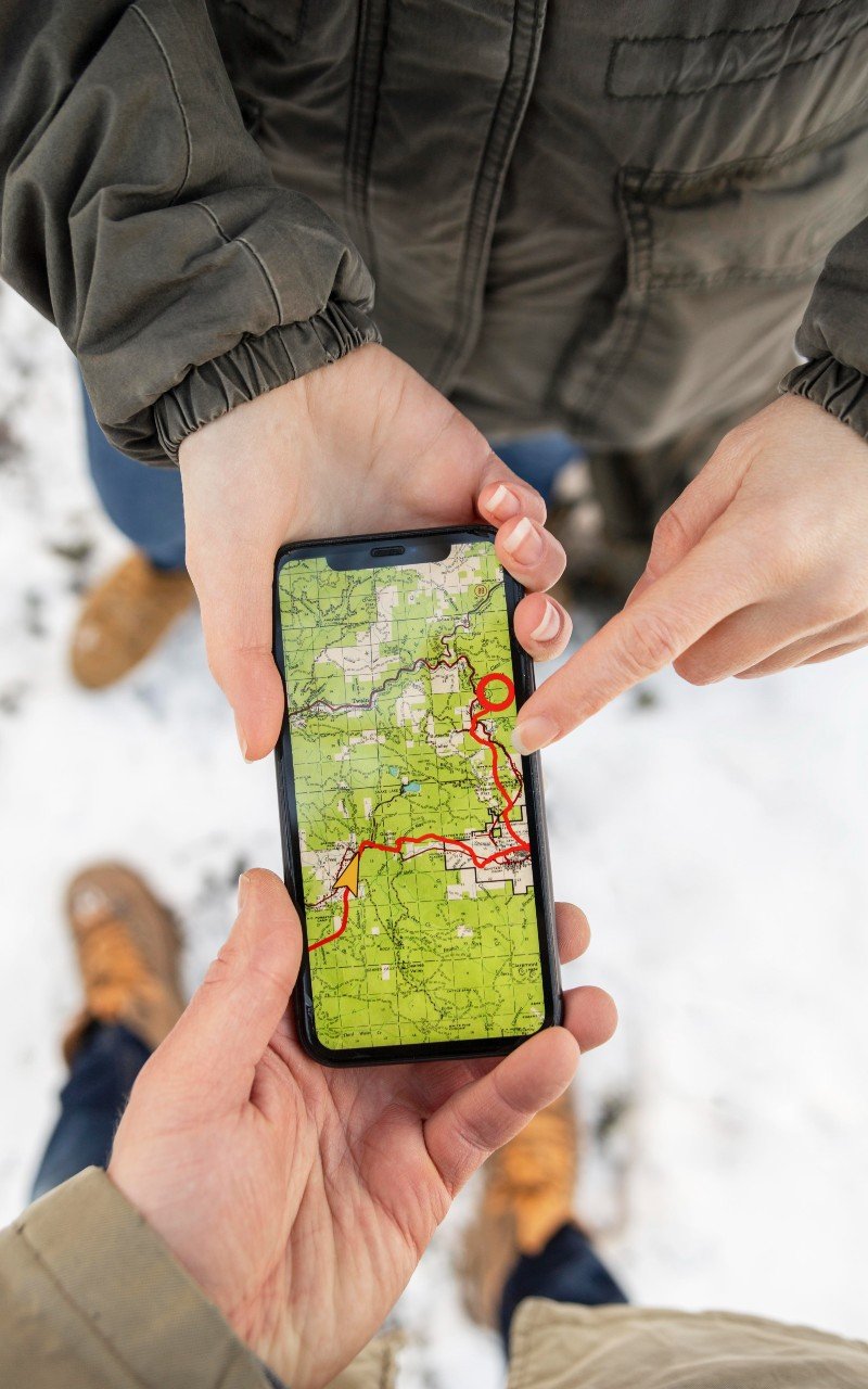
Walk into any backcountry outfitter and ask the guides what they use. Most will show you Gaia GPS on their phones.
The Wolfe County Search and Rescue Team made Gaia their primary navigation tool. That’s not a casual choice. When people’s lives are on the line, you use the most reliable option available.
Gaia gives you multiple map layers you can switch between instantly. Satellite imagery when you need to see terrain features. Topographic maps when you need elevation details. Forest Service maps when you need official trail information.
The offline functionality actually works. Download maps before you go, and they stay accessible even in dead zones. No cell service? No problem.
Gaia shows you things other apps miss. Old logging roads that make great shortcuts. Water sources that aren’t on official maps. Campsites that locals know about but tourists don’t.
Cost: $39.99 per year for the premium version. Worth every penny if you hike regularly in remote areas.
ii. CalTopo: The Route Planning Champion

Andrew Skurka has hiked over 30,000 miles. He’s completed some of America’s most difficult long-distance routes. When he needs to plan a complex trip, he uses CalTopo.
“CalTopo is now the clear winner for those who have similar needs,” Skurka writes on his blog.
CalTopo excels at detailed route planning. You can measure distances precisely. Calculate elevation gain accurately. See slope angles to avoid dangerous terrain.
you can print waterproof maps at exact scales. Plan your route on the computer, then print professional-quality maps to carry as backup.
The web interface gives you tools that phone apps can’t match. You can overlay different map types. Add custom waypoints with detailed notes. Share routes with your hiking partners.
CalTopo uses the same high-quality data that professional surveyors rely on. USGS topographic maps. Forest Service trail data. Satellite imagery updated regularly.
The learning curve is steeper than consumer apps. But once you master it, you’ll wonder how you ever managed without it.
iii. Avenza Maps: The Offline Specialist
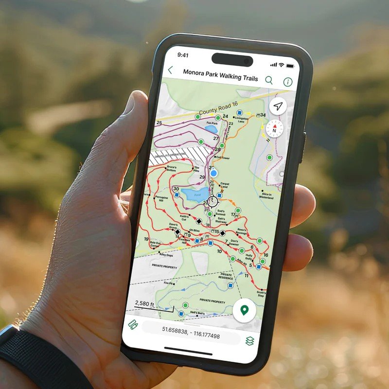
That’s where Avenza Maps shines. This app specializes in offline PDF maps that work anywhere.
Download official maps from parks, forests, and government agencies. Store them permanently on your phone. Access them instantly without any internet connection.
The maps come from authoritative sources. National Park Service. Forest Service. Geological surveys. These aren’t user-generated routes that might be wrong.
Avenza shows your exact location on the map using GPS satellites. Even with no cell service, GPS still works. You always know where you are.
Professional guides love Avenza for international trips. Download official maps for any country before you travel. No roaming charges. No connectivity worries.
iv. FarOut: The Thru-Hiker’s Bible
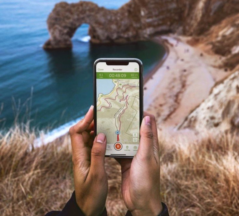
This app focuses on America’s major trail systems. Appalachian Trail. Pacific Crest Trail. Continental Divide Trail. Every mile mapped in detail.
FarOut doesn’t just show you the route. It tells you where to find water. Where to resupply food. Where to camp legally. Where to get help in emergencies.
The information comes from experienced thru-hikers who’ve completed these trails. They share real beta about trail conditions, not just pretty photos.
Comments get updated constantly during hiking season. Yesterday’s trail report from someone 20 miles ahead. Today’s water source status. Tomorrow’s weather warnings.
For long-distance hiking, FarOut provides information no other app offers. It’s like having a experienced guide walk ahead of you, leaving detailed notes about everything you need to know.
v. Why These Apps Work Better
Professional hiking apps share common features that consumer apps lack:
Accurate data sources. Information comes from authoritative agencies, not random users. True offline capability. Maps work completely without cell service.
Professional map quality. The same data that surveyors and rescue teams use. Focus on safety over social features. Less photo sharing, more route planning tools.
Designed for serious use. Built to handle complex, multi-day trips in remote areas. The learning curve is steeper. The interfaces aren’t as pretty. But when you’re 50 miles from the nearest road, pretty doesn’t matter.
These apps cost more than free alternatives. But consider the alternative: getting lost because your consumer app failed when you needed it most.
How to Graduate from Beginner Apps to Pro-Level Navigation
You’ve been hiking with AllTrails for a year. You know the popular trails near your city. You’re ready for bigger challenges. But when should you upgrade your navigation tools?
i. When Beginner Apps Stop Working
AllTrails works great for popular day hikes. But you’ll hit limits as you get more serious about hiking.
You want to explore unmarked trails that aren’t in AllTrails’ database. You’re planning multi-day trips where cell service doesn’t exist. You’re hiking in places where wrong turns have real consequences.
Chris Townsend has hiked over 30,000 miles and written 25 books about hiking. He’s clear about what matters: “Look for detailed topo maps of the country you’ll be walking in.”
AllTrails uses basic maps. Professional apps use survey-grade topographic data. The difference shows when you’re trying to find a safe route across difficult terrain.
ii. The Learning Curve Reality Check
Professional navigation apps aren’t as simple as AllTrails. They have more features, more options, and steeper learning curves.
Gaia GPS takes time to master. You’ll need to learn about map layers, offline downloads, and route planning tools. CalTopo requires even more study to use effectively.
The complexity serves a purpose. Simple apps make decisions for you. Professional apps let you make informed decisions for yourself.
Plan to spend a few weekends learning your new tools before you depend on them for serious trips. Practice with familiar trails first. Master the basics at home not in the wilderness.
iii. Cost Analysis That Makes Sense
Let’s talk money. Professional navigation apps cost more upfront:
AllTrails Plus: $35.99/year AllTrails Peak: $79.99/year
Gaia GPS Premium: $39.99/year CalTopo Pro: $49/year
The price difference is real but small. You’re talking about $3-4 per month for tools that could save your life.
Compare that to other hiking expenses. Good boots cost $200-400. A quality backpack runs $300-500. Navigation apps cost less than one night in a hotel.
The value becomes obvious when you consider what you get: survey-grade maps, true offline functionality, and tools that work in any conditions.
iv. Building on What You Already Know

Don’t throw away everything you learned with beginner apps. Build on that foundation.
Keep using AllTrails for research. The trail reviews and photos help you plan trips. Just don’t rely on it for actual navigation in remote areas.
Use professional apps for the technical stuff: offline maps, precise route planning, and backup navigation. Use consumer apps for the social stuff: finding new trails and reading recent conditions.
Your phone can hold multiple navigation apps. Use the right tool for each job.
v. The Upgrade Path That Works
Month 1: Download Gaia GPS. Practice with it on trails you already know. Learn the basic features.
Month 2: Plan your first trip using CalTopo’s web interface. Print backup maps. Use Gaia for field navigation.
Month 3: Try a more challenging hike using only professional tools. No AllTrails backup.
This gradual approach builds skills without throwing you into the deep end.
vi. Skills Matter More Than Apps
Remember: apps are tools, not solutions. The best navigation app won’t help if you don’t know how to read topographic maps or use a compass.
Take a navigation class. Learn to read terrain features. Practice estimating distances. Understand how weather affects visibility and trail conditions.
Professional apps give you better information. But you still need the skills to use that information correctly.
The goal isn’t to become a technology expert. It’s to become a hiker who can travel safely in any conditions, with or without working electronics.
Start that upgrade today. Your future self will thank you when you’re standing on a remote mountaintop, knowing exactly how to get home safely.
FAQs
Is AllTrails really that dangerous, or are you just being dramatic?
AllTrails isn’t dangerous for what it’s designed for popular day hikes near cities. The danger comes when people use it beyond those limits. The app doesn’t tell you which routes are official trails versus user-created tracks. Some “trails” are actually dangerous bushwhacks or cross private property.
What’s the real difference between free and paid navigation apps?
Free versions usually require cell service to download maps. That’s useless in remote areas with no signal. Paid versions let you download detailed maps before you go. They work completely offline. They also include professional-grade topographic data instead of basic road maps.
Do I really need multiple navigation apps, or is that overkill?
Professional hikers use different apps for different jobs because no single app does everything well. CalTopo excels at route planning on your computer. Gaia GPS works best for field navigation. AllTrails helps you research trail conditions. Avenza Maps provides official government maps.
How much time does it take to learn professional navigation apps?
Plan to spend 2-3 weekends getting comfortable with apps like Gaia GPS or CalTopo. They’re more complex than AllTrails but not impossibly difficult.

